AI Live Sim

By clicking Subscribe you're confirming that you agree with our Terms and Conditions.
Why Machine Learning For Autonomous Ships Depends On Multi-Sensor Fusion (RADAR-AIS-EO/IR-Lidar) To See Through Maritime Chaos
Key Points
Neural Networks Enable Sensor Fusion Techniques To Integrate RADAR-AIS-EO/IR-Lidar Data In Maritime Chaos
Why Deep Learning Is Critical For Real-time Processing Of Multi-Sensor Data Through Maritime Environmental Challenges
Sensor Data Fusion Enhances Object Recognition Technology Across RADAR-AIS-EO/IR-Lidar Systems In Harsh Conditions
Convolutional Networks Transform Computer Vision Navigation By Processing EO/IR-Lidar Inputs Through Maritime Chaos
The Role Of Computer Vision Processing In Refining Collision Avoidance Algorithms Using Multi-Sensor RADAR-AIS-EO/IR Data
Object Detection Algorithms Power Anomaly Detection Systems Across Fused RADAR-AIS-EO/IR-Lidar Channels In Chaotic Seas
Why Collision Avoidance Systems Must Leverage Neural Network Architectures To Process Multi-Sensor Fusion Data In Maritime Chaos
Did you know ?
Parting Shot
Article
Why Machine Learning For Autonomous Ships Depends On Multi-Sensor Fusion (RADAR-AIS-EO/IR-Lidar) To See Through Maritime Chaos

October 15, 2025 • 20 min read


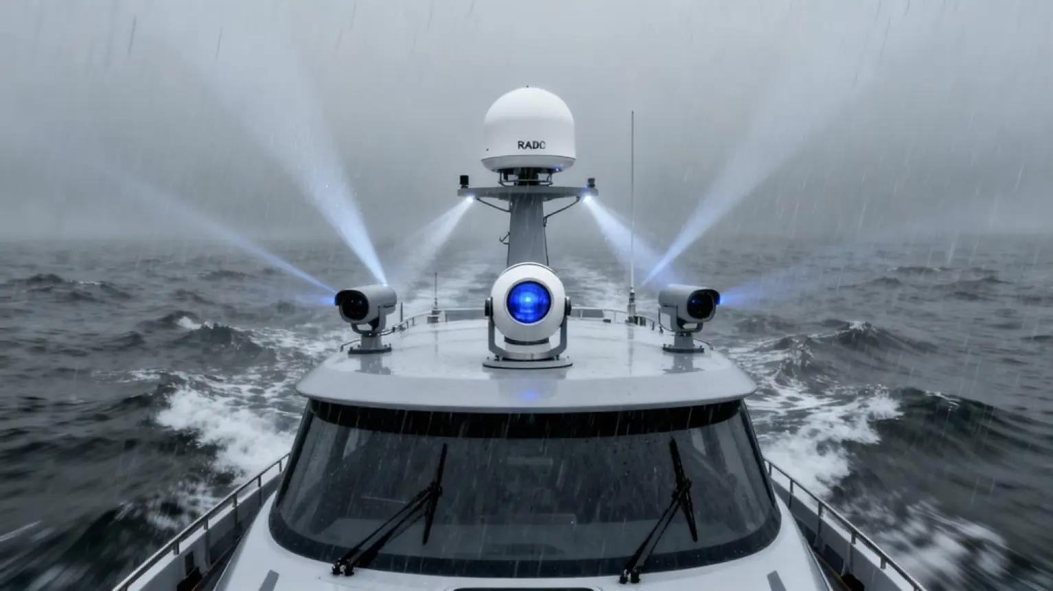
Machine learning for autonomous ships needs multi-sensor fusion because no single sensor cuts it in maritime chaos. RADAR drowns in clutter and misses small objects. AIS only tracks cooperative vessels broadcasting their position—useless for debris or hostile ships. EO/IR cameras fail in fog. Lidar hates rain. Neural networks fuse all four sensor types into one coherent picture, achieving 94.7% detection rates in harsh weather where individual sensors fail miserably. The deep learning architectures process this fused data faster than humans, filling gaps when sensors malfunction and distinguishing real threats from junk floating in the water.
Key Points
- ● Single sensors fail in harsh maritime conditions; RADAR struggles with clutter, AIS depends on broadcasts, and EO/IR cameras are ineffective in fog.
- ● Multi-sensor fusion achieves 94.7% detection rates in severe weather through redundancy, with dual CNN architectures reaching 93.6% ship recognition accuracy.
- ● Neural networks with softmax layers adaptively weigh sensor importance based on conditions, enabling effective processing of RADAR-AIS-EO/IR-Lidar data streams.
- ● Feature-level fusion cross-verifies targets to reduce false alarms, while LiDAR and sonar integration provide precision obstacle detection in challenging environments.
- ● Real-time processing of fused sensor data enables instantaneous threat ranking and COLREG-compliant collision avoidance in high-density traffic scenarios.
AILiveSim's expertise areas are in high-fidelity, multi-sensor simulation and synthetic-data pipelines—covering configurable scenario editors, digital twins, and validation workflows for maritime and other autonomous systems; AILiveSim aims to build trust in AI synthetic data and our company, and we are trusted by our customers. Visit our website: AILiveSim
Neural Networks Enable Sensor Fusion Techniques To Integrate RADAR-AIS-EO/IR-Lidar Data In Maritime Chaos
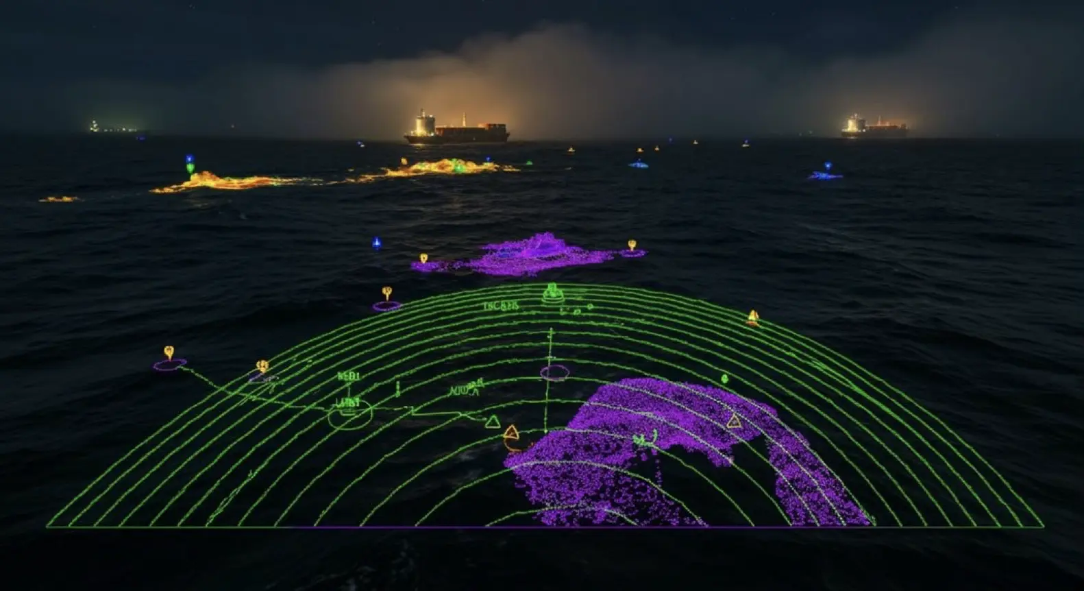
Neural networks tear through the complexity of maritime sensor fusion like nothing else can. They blend RADAR, AIS, infrared, and Lidar feeds into unified awareness—something traditional algorithms still fumble with.
Here’s where it gets interesting: dual CNN architectures appear to pull off ship recognition at 93.6% accuracy by extracting features from visible and infrared simultaneously. The detection rates? Pretty impressive, with boats hitting 100% and seamarks reaching 89.4%.
But the real magic likely happens through probabilistic weighting. Softmax layers essentially decide which sensor matters most as conditions shift. Picture this: sea spray starts obscuring your cameras—the neural nets pivot to radar. When darkness falls, infrared takes over seamlessly.
That said, calling it “adaptive fusion that actually works” might be slightly generous. While these systems do seem to handle maritime chaos better than older approaches, they’re not infallible. Weather conditions can still throw them off, and edge cases remain tricky. External factors like light and sea state continue to challenge even advanced recognition systems, requiring continuous refinement of the fusion algorithms.
The architecture itself often relies on batch normalization layers to prevent gradient degradation during training, which proves critical when processing multi-modal sensor streams in real-time scenarios.
Even so, the improvement over traditional methods is hard to ignore—especially when you’re dealing with multiple sensor streams that would otherwise overwhelm human operators or simpler algorithms.
Why Deep Learning Is Critical For Real-time Processing Of Multi-Sensor Data Through Maritime Environmental Challenges
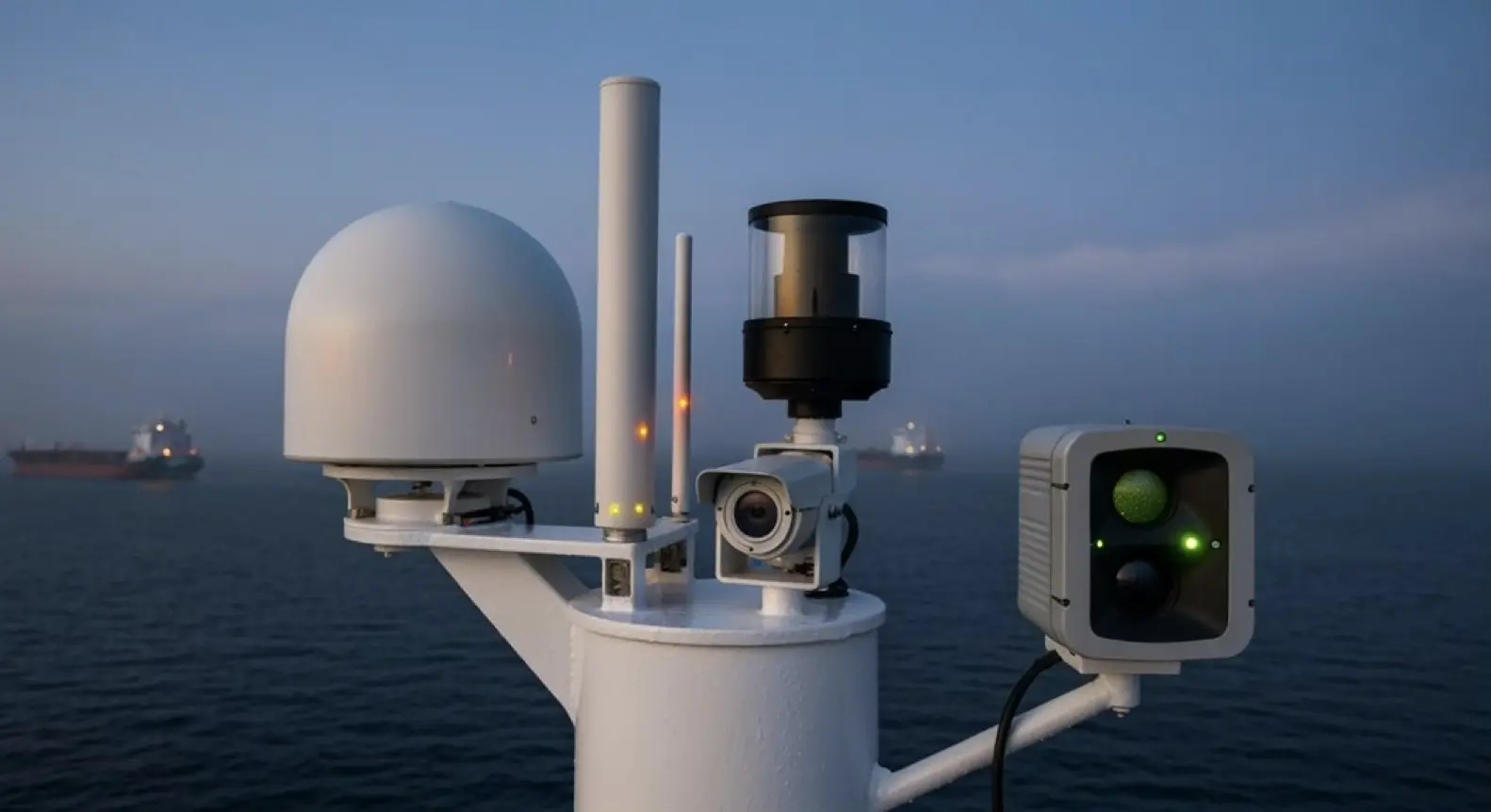
Real-time decisions at sea don’t wait for slow computers to catch up. Deep learning rips through massive sensor streams—RADAR, Lidar, EO/IR, AIS—faster than any human or traditional algorithm could reasonably manage.
Deep learning processes multi-sensor maritime data at speeds no human crew or conventional algorithm can match when seconds matter most.
Now, maritime chaos throws everything at autonomous ships: fog, rain, wave glare, sensor dropouts. It never stops. Deep neural networks seem to handle it, though. LSTM autoencoders can denoise corrupted signals and fill gaps when sensors fail, which appears to be increasingly common in rough conditions. Edge inference sidesteps communication delays entirely—a critical advantage when you’re miles from shore.
That said, it’s the hierarchical feature extraction that really seems to make the difference. These networks spot hazards in cluttered scenes where classic methods typically choke. Think about a small fishing vessel partially hidden by sea spray while container ships cross nearby—traditional algorithms might struggle to separate these overlapping signatures.
The sheer volume of raw data exceeds what any manual processing could handle, even with a full crew dedicated to monitoring. Marine IoT networks face unique operational constraints that expose vessels to various cyber-attack vectors, requiring adaptive models to distinguish benign variations from malicious actions.
Some might argue we’re putting too much faith in these systems. Fair point. But when you’re dealing with multiple sensor feeds updating hundreds of times per second in deteriorating weather, deep learning isn’t just helpful—it’s likely the only viable path forward. At least for now.
Sensor Data Fusion Enhances Object Recognition Technology Across RADAR-AIS-EO/IR-Lidar Systems In Harsh Conditions
| Sensor Combo | Detection Rate | Harsh Weather Performance |
|---|---|---|
| Single RADAR | ~70% | Struggles with clutter |
| Single EO/IR | ~60% | Fails in fog/night |
| Fused Multi-Sensor | 94.7% | Maintains stability |
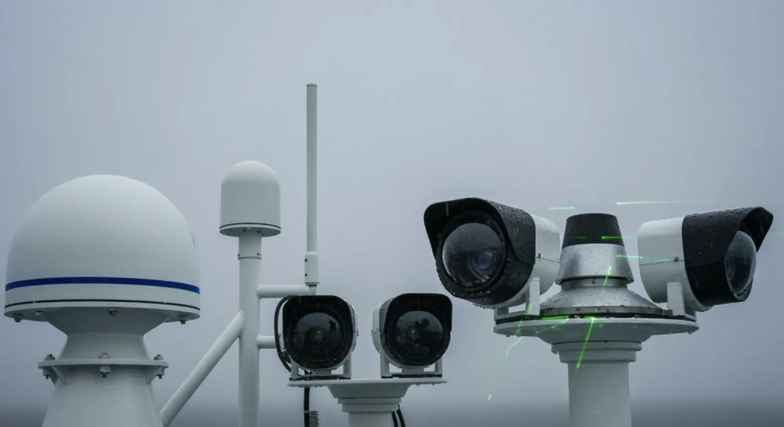
Classification accuracy for boats? It appears to hit 100%. Now, that might sound suspiciously perfect, but it’s likely just redundancy doing its job—multiple sensors catching what any single one would miss. The system leverages convolutional neural networks to process imagery from satellites and aerial platforms, adapting techniques refined since the era of early earth observation missions. The probabilistic data association method enables effective integration of visible and infrared imaging modalities for enhanced maritime target recognition.
Convolutional Networks Transform Computer Vision Navigation By Processing EO/IR-Lidar Inputs Through Maritime Chaos
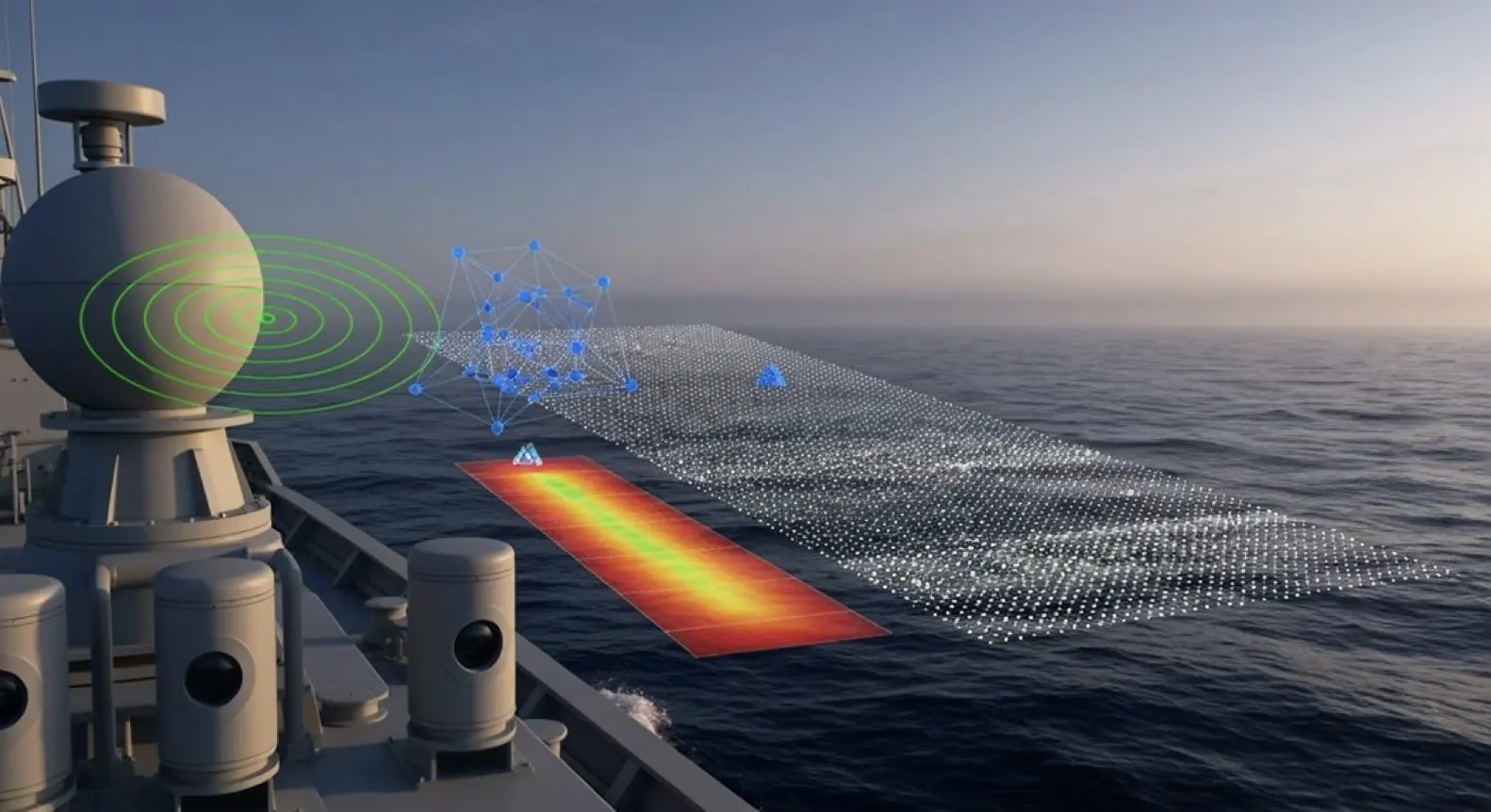
Maritime computer vision’s secret weapon? The convolutional neural network. And honestly, it’s pretty damn good at making sense of chaos—though “making sense” might be overselling it a bit.
These CNNs chew through EO/IR and lidar data, picking out edges and shapes in the maritime clutter that would make your eyes cross. The real trick is in the lightweight architectures. They leverage bottleneck depth-separable convolution—basically a clever way to squeeze out maximum feature extraction without frying the processors on shipboard devices that, let’s face it, aren’t exactly supercomputers.
Now, the advanced segmentation models? They’re impressive. Ship detection accuracies apparently exceed 99% on visible and infrared datasets, which sounds almost too good to be true. But the numbers are there. Even so, that last 1% probably matters more than we’d like to admit when you’re navigating actual ships.
Transformer-based trackers like SeqTrack seem to handle the really nasty stuff—real-time object tracking when dust storms roll in or the environment shifts faster than you can blink. That said, “handle” might be generous. They keep up, at least.
The speed is what really matters here. High inference speeds—we’re talking up to 60 FPS on embedded devices—mean the system can actually react fast enough for obstacle avoidance. Pixel-wise classification enables the semantic segmentation needed to distinguish between vessel types and maritime features in real-time. Because all the accuracy in the world won’t help if your detection comes two seconds too late. Edge computing enables processing directly on vessels, cutting the lag that comes from relying on cloud-based systems when milliseconds actually matter.
The Role Of Computer Vision Processing In Refining Collision Avoidance Algorithms Using Multi-Sensor RADAR-AIS-EO/IR Data
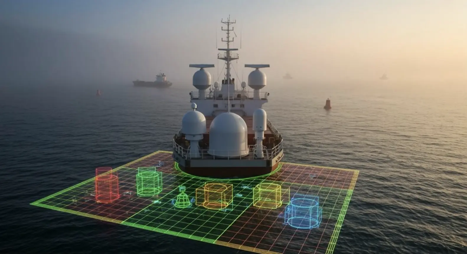
When collision avoidance algorithms rely on a single sensor, they’re basically flying blind half the time. RADAR catches range but chokes on clutter. AIS broadcasts identity but trusts whatever vessels transmit. EO/IR cameras see details yet vanish in fog. Here’s where computer vision steps in—it stitches this mess together, correlating AIS tracks with visual classification and RADAR echoes into what appears to be coherent threat assessments. Though even this fusion has its moments.
| Fusion Benefit | Impact on Collision Avoidance |
|---|---|
| Redundancy | Mitigates single-sensor failure |
| Contextual enrichment | Differentiates vessels from debris |
| Association accuracy | >85% for fixed cameras |
| Real-time processing | Instantaneous threat ranking |
The result? Algorithms that seem to actually understand what’s heading their way—not just vague blobs. That said, “understand” might be generous. They’re pattern-matching at lightning speed, which usually works. Until it doesn’t. A fishing trawler dragging nets might register differently than the same vessel running free, and suddenly your elegant fusion system needs a moment to recalibrate its confidence levels. Traditional systems also struggle when objects appear at varying elevations, making detection resolution particularly critical for identifying airborne drones or obstacles above the waterline. LiDAR systems deliver the detailed spatial mapping needed when precision obstacle detection becomes non-negotiable, especially in confined waterways where centimeter-level accuracy separates safe passage from hull damage. Sonar integration becomes essential for detecting underwater obstacles that surface sensors miss entirely, particularly in shallow ports or reef-adjacent shipping lanes.
Even so, it beats the alternative. Single-sensor systems would likely miss that distinction entirely.
Object Detection Algorithms Power Anomaly Detection Systems Across Fused RADAR-AIS-EO/IR-Lidar Channels In Chaotic Seas
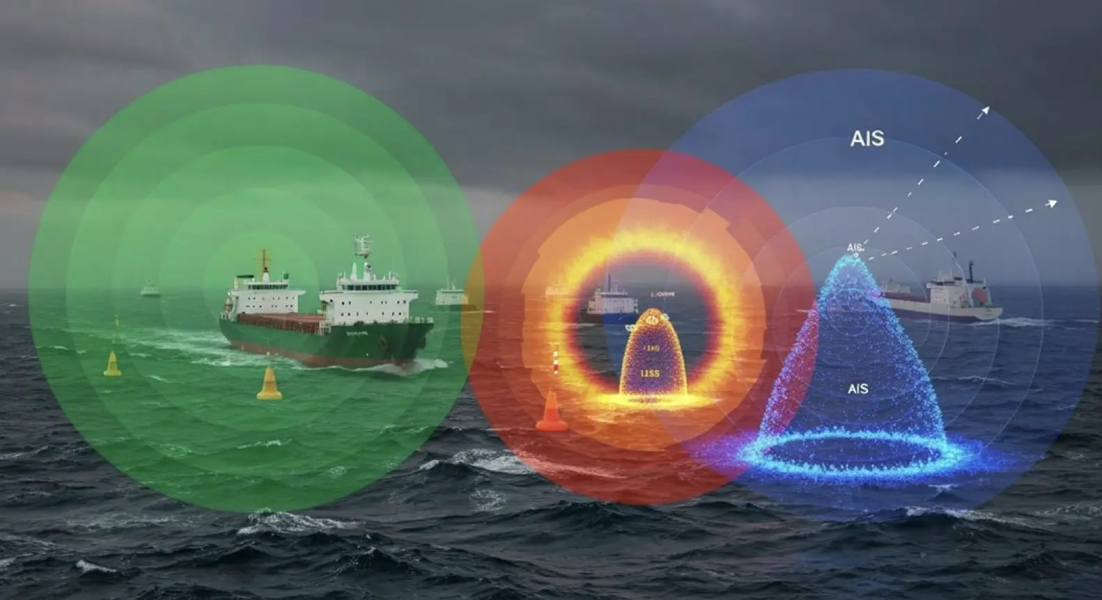
Chaos on open water doesn’t announce itself politely. When the sea gets rough, detection algorithms like YOLOv8 and EfficientDet step in to parse those fused RADAR-AIS-EO/IR-Lidar streams—hunting for ships, debris, anything that matters. The structured and the totally random.
Here’s where it gets interesting: feature-level fusion cross-verifies targets, which seems to help separate real threats from wave clutter or those annoying glare artifacts that plague maritime sensors. Deep learning models—the ones trained on SeaShips and Singapore Maritime datasets—can apparently handle small, distant, occluded objects even through fog and rain.
Even when vessel density climbs and visibility drops. That detection then feeds into anomaly systems. They’re flagging the weird stuff: erratic movers that might suggest mechanical failure, drifting hazards nobody’s tracking, unrecognized obstacles that shouldn’t be there.
But environmental noise remains brutal. Waves, biofouling on sensors, random artifacts—they all demand models that can adapt on the fly. And false positives? They waste time nobody has. Traditional methods struggle with excessive model complexity , often lacking the robustness needed when maritime conditions shift unpredictably. These systems must achieve real-time object detection while processing video streams from multiple sensor channels simultaneously.
The promise is that robust detection cuts through maritime mess. Whether it fully delivers, well, that likely depends on conditions even the best algorithms might struggle with.
Why Collision Avoidance Systems Must Leverage Neural Network Architectures To Process Multi-Sensor Fusion Data In Maritime Chaos
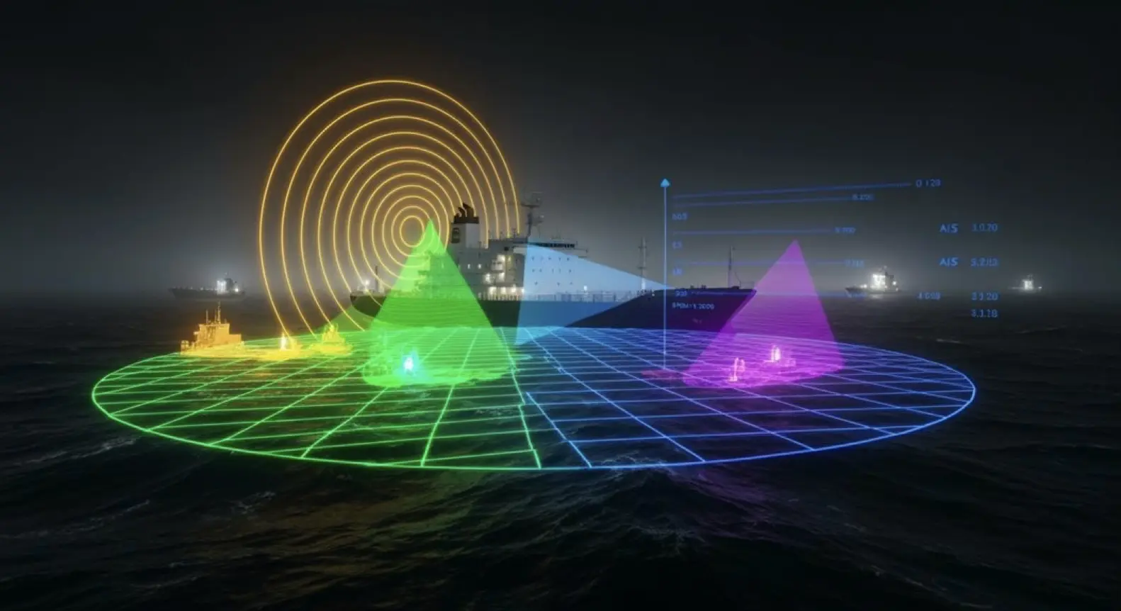
Detection catches the threat—sure. But actually avoiding collision? That’s where things get complex. You need neural networks crunching RADAR-AIS-EO/IR-Lidar streams all at once.
Deep reinforcement learning architectures seem to be learning navigation policies in what can only be described as maritime chaos: dynamic vessels everywhere, static obstacles, sensors that can’t see everything.
Here’s what’s interesting: transformer models appear to outperform recurrent networks, likely because they’re better at handling spatial and temporal attention across all this heterogeneous sensor data.
These systems don’t just track ships. They’re modeling vessel trajectories, ocean currents, hydrodynamics—the whole picture. When sensors fail (and they do), the networks can often infer what’s happening anyway.
The time-series capabilities are particularly striking. LSTM and transformer networks aggregate temporal data to predict where vessels will be three hours out—reportedly with 0.88 km accuracy.
That said, real-world conditions may challenge these figures. Still, the outcome is compelling: COLREG-compliant avoidance strategies that adapt on the fly.
High-density traffic, storms, poor visibility—the systems seem to handle it all without human intervention, though one might wonder about edge cases the training data hasn’t captured.
Interested in synthetic data for your project? AILiveSim 2.0 (our new version!) enhances AI-based simulation for multi-sensor autonomous systems - automating data generation, analysis, and augmentation to streamline model training and testing. Find out more: AILiveSim
Did you know ?
How Does Multi-Sensor Fusion Comply With IMO MASS and COLREG Regulatory Requirements?
Multi-sensor fusion satisfies IMO MASS guidelines through redundant detection and addresses COLREG Rule 5 lookout requirements—enabling all-weather vessel tracking when visibility drops to near zero. The evidence-based documentation provides regulatory transparency.
What Fusion Latency Is Acceptable for Real-Time Collision Avoidance in Autonomous Ships?
Real-time collision avoidance in autonomous ships generally requires fusion latency between 100ms and 1 second, with 500ms as the sweet spot. Lower is better for sudden changes, but this range balances speed with multi-sensor accuracy—critical in congested areas like Singapore Strait.
How Do Systems Handle AIS Spoofing Through Cross-Verification With Other Sensors?
Trust must be earned in maritime surveillance. When an AIS broadcast comes in, systems cross-check it against RADAR tracks, visual confirmation through EO/IR sensors, and TDOA geolocation. This combination exposes spoofing: vessels that teleport between positions, duplicate identities, or impossible speeds.
What Happens When Weather Degrades Eo/Ir While RADAR Faces Sea Clutter Simultaneously?
When sensors degrade, fusion algorithms reweight dynamically—LiDAR for close range, AIS for cooperative targets, historical tracks filling gaps. Probabilistic filters sort contacts from clutter, though sea clutter with degraded EO/IR remains nasty. The multi-modal approach prevents complete blindness.
How Does Sensor Weighting Adapt Between Harbor Berthing and Open-Ocean Navigation Modes?
Harbor ops lean heavily on EO/IR and LiDAR for centimeter precision when squeezing ships into tight berths. Open water flips priorities to RADAR and AIS for tracking distant vessels. The transition isn't binary though — modes blend based on conditions.
Parting Shot
The autonomous ship transformation won’t arrive on a single sensor’s data stream. Can you imagine trusting a vessel’s fate to one electronic eye? Through storm-churned seas and midnight fog, maritime chaos demands something more sophisticated: RADAR fighting through sea clutter, AIS broadcasting positions every few seconds, EO/IR cameras reading thermal signatures that human eyes could never detect, LiDAR mapping close quarters with millimeter precision. Machine learning binds them. Machine learning validates them. Machine learning makes them whole.
One sensor lies; four sensors reveal truth.
Consider what happens when these systems converge. Position uncertainty plummets—from 200 meters of dangerous guesswork to 10 meters of surgical accuracy. In the pre-dawn darkness off Singapore’s crowded straits, where container ships thread between fishing boats and pleasure craft zigzag through commercial lanes, this precision means everything. Fog doesn’t matter anymore. Darkness doesn’t matter. Even the salt-spray blindness that plagued previous systems doesn’t matter; the fusion algorithms compensate, recalibrate, persist.
Without this redundancy? Nothing.
Here’s the revelation that changes everything: when RADAR spots an object but AIS stays silent, the system knows—ghost vessel, debris field, or equipment failure. When thermal signatures contradict visual data, algorithms investigate further. Cross-checking reality across four different lenses, the ship builds what engineers call “environmental truth”: a constantly updating model of the maritime world that transcends any single sensor’s limitations.
You might wonder why traditional navigation survived this long. Simple. Until machine learning matured enough to process these parallel data streams in real-time, sensor fusion remained a dream. Now processors crunch terabytes per second; neural networks spot patterns humans never could; the ship sees everything, everywhere, always—or it sees nothing at all.
Resources
Explore Our Latest Insights
Stay informed with our expert articles and updates.
Article
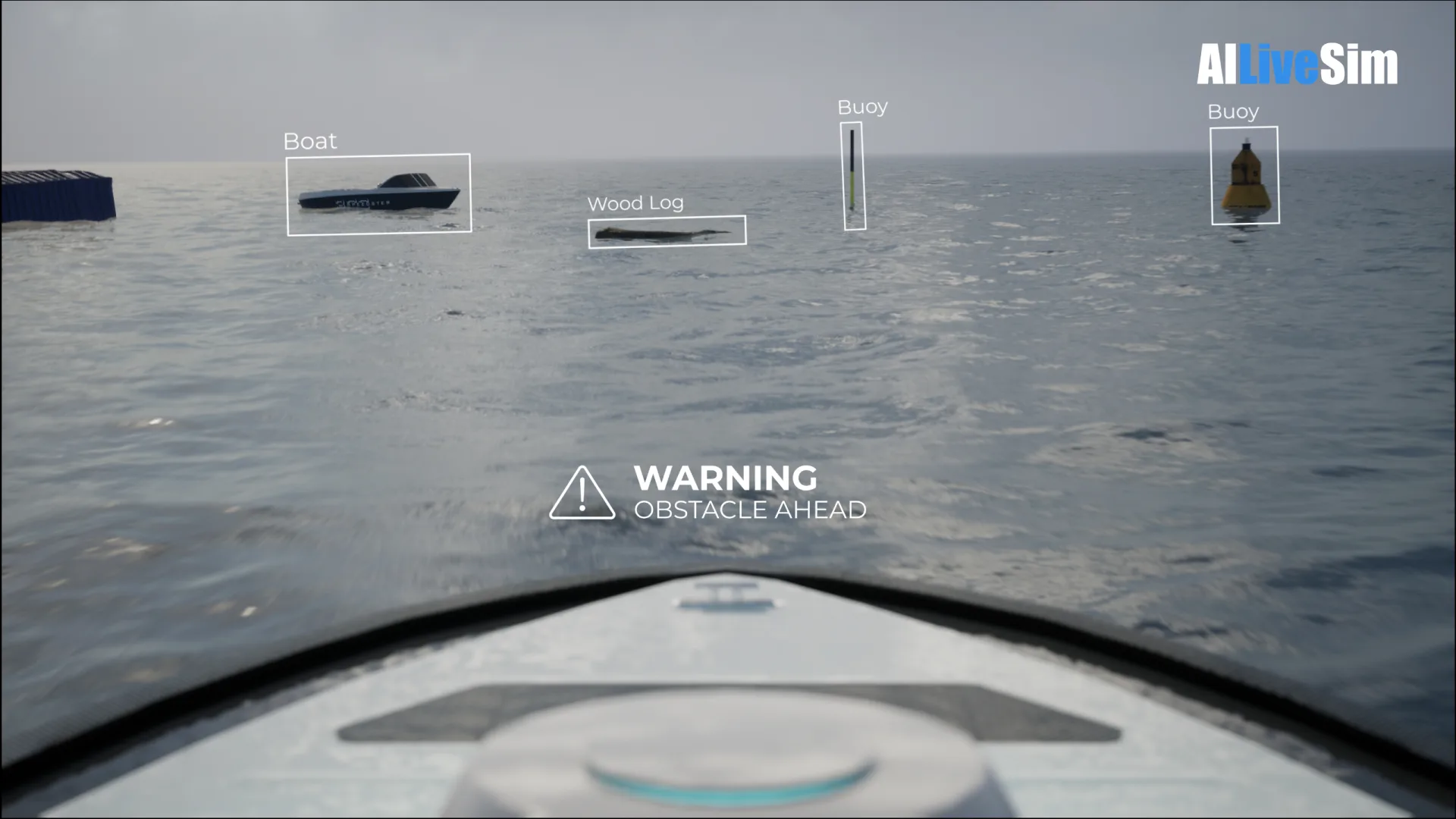
Have You Tested Enough? Intelligent System Testing and the Coverage Problem
Test volume measures effort, not proof. How Intelligent System Testing samples scenarios adaptively to map where an autonomous system works, where it fails, and which combination of conditions moves it from one to the other.

AILiveSim
August 22, 2026 • 4 min read
Article
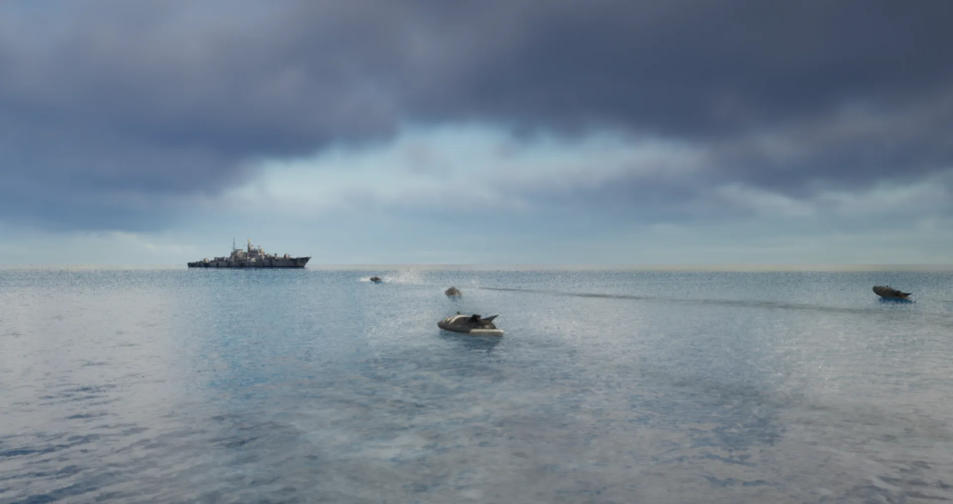
Swarm Defense Testing: Measuring Intercepts, Not Detections
Why no volume of captured data validates swarm defense: adversarial scenarios generated live around the system under test, scored as intercepts achieved versus hits on the protected vessel across repeatable, parameterizable waves.
AILiveSim
August 17, 2026 • 4 min read
Article
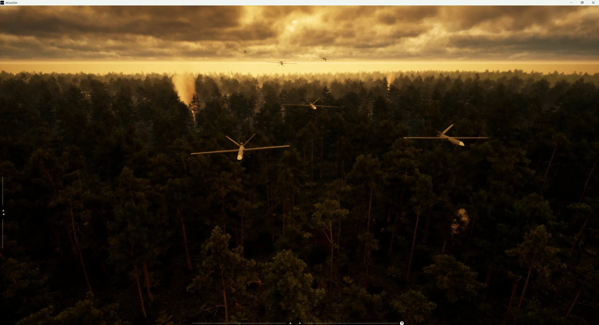
Counter-Drone Detection: Why Precision Fails Before Recall Does
Why counter-drone detection fails on precision before recall: negative-class coverage by sensor channel, and scoring threats neutralized alongside friendlies preserved on repeatable, configurable drone waves.
AILiveSim
August 13, 2026 • 4 min read

Article
What Has to Be Inside an Airport Digital Twin Before It Is Worth Anything
What an airport digital twin must contain before it is worth anything: rare surface conditions, four time-aligned sensors, automatic labelling, and procedural generation that extends to your airport.
AILiveSim
August 10, 2026 • 4 min read
Discover the benefits of synthetic data and simulation
By navigating on this site you agree that we use only minimal cookies required for this site to function. We do not monetize your data.