AI Live Sim

By clicking Subscribe you're confirming that you agree with our Terms and Conditions.
Path Planning For Autonomous Ships With Sensor Fusion: How To Navigate Dense Traffic Under Uncertainty
Key Points
RADAR Systems Enable Real-Time Sensor Adaptation for Path Planning Under Uncertainty
Dynamic Obstacle Detection Through LiDAR Sensors for Autonomous Ship Path Planning in Dense Traffic
Optimizing Collision Avoidance Routing With Collision Avoidance Algorithms in Dense Traffic Under Uncertainty
Artificial Potential Field Methods and Local Maneuver Optimization for Path Planning in Congested Waters
Path Planning Through Marine Traffic Management: The Role of Velocity Obstacle Method Under Uncertainty
Strengthening Risk Assessment for Autonomous Ship Path Planning With Dynamic Window Approach
COLREGS Framework: Governing Sensor Fusion for Path Planning in Dense Maritime Traffic
Did you know ?
Parting Shot
Article
Path Planning For Autonomous Ships With Sensor Fusion: How To Navigate Dense Traffic Under Uncertainty

October 23, 2025 • 15 min read


Autonomous ships combine RADAR, LiDAR, and AIS data through sensor fusion to create real-time obstacle maps in crowded ports where GPS fails. W-band RADAR cuts through fog at 76-77GHz with centimeter accuracy, while LiDAR fires millions of laser points per second to track moving vessels beyond 200 meters. Machine learning algorithms merge COLREGs rules with reinforcement learning to calculate collision-free paths, though split-second decisions in dense traffic remain tricky. Velocity obstacle methods and dynamic window approaches filter achievable maneuvers when uncertainty complicates predictions, and the details get technical fast.
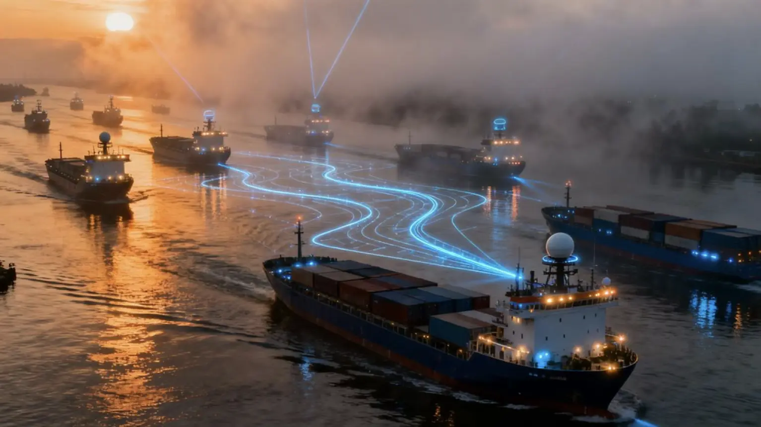
Key Points
- ● Sensor fusion combines RADAR, LiDAR, and AIS data to achieve centimeter-level accuracy and reduce false alarms in dense traffic scenarios.
- ● Deep reinforcement learning and LSTM-RL hybrids enable adaptive path planning that improves navigation performance in high-density environments.
- ● Modified velocity obstacle methods predict collisions using real-time data while incorporating maneuverability limits and COLREGs compliance.
- ● Multi-objective cost functions balance collision risk, fuel consumption, and regulatory compliance with adaptive weighting for different maritime environments.
- ● Dynamic Window Approach filters achievable trajectories using live sensor data and assigns collision hazard scores for split-second decision-making.
AILiveSim's expertise areas are in high-fidelity maritime & defense simulation, multi-sensor synthetic data generation (radar/LiDAR/EO-IR), digital-twin scenario authoring, and scalable training/validation pipelines for autonomous navigation—AILiveSim aims to build trust in AI synthetic data and our company, and we are trusted by our customers. Visit our website: AILiveSim
RADAR Systems Enable Real-Time Sensor Adaptation for Path Planning Under Uncertainty
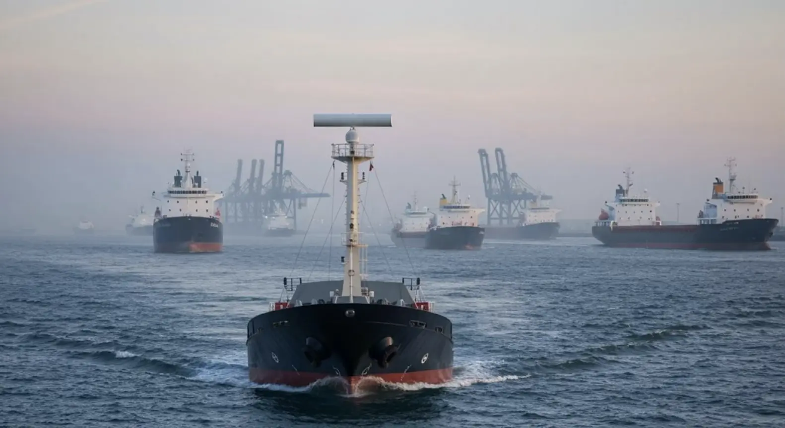
When autonomous ships hit crowded waterways or lose GPS signal, RADAR essentially becomes their lifeline for real-time sensor adaptation. Those W-band systems operating at 76–77GHz? They’re delivering centimeter-level accuracy—precise enough to thread through tight harbor spaces.
And here’s the thing: fog and rain that would blind cameras and LiDAR don’t faze RADAR at all.
Now, fuse this with AIS and video feeds. You get combined tracks that cross-verify what’s actually out there, which appears to slash false alarms considerably. AI algorithms process this integrated data stream, adjusting routes on the fly when obstacles pop up.
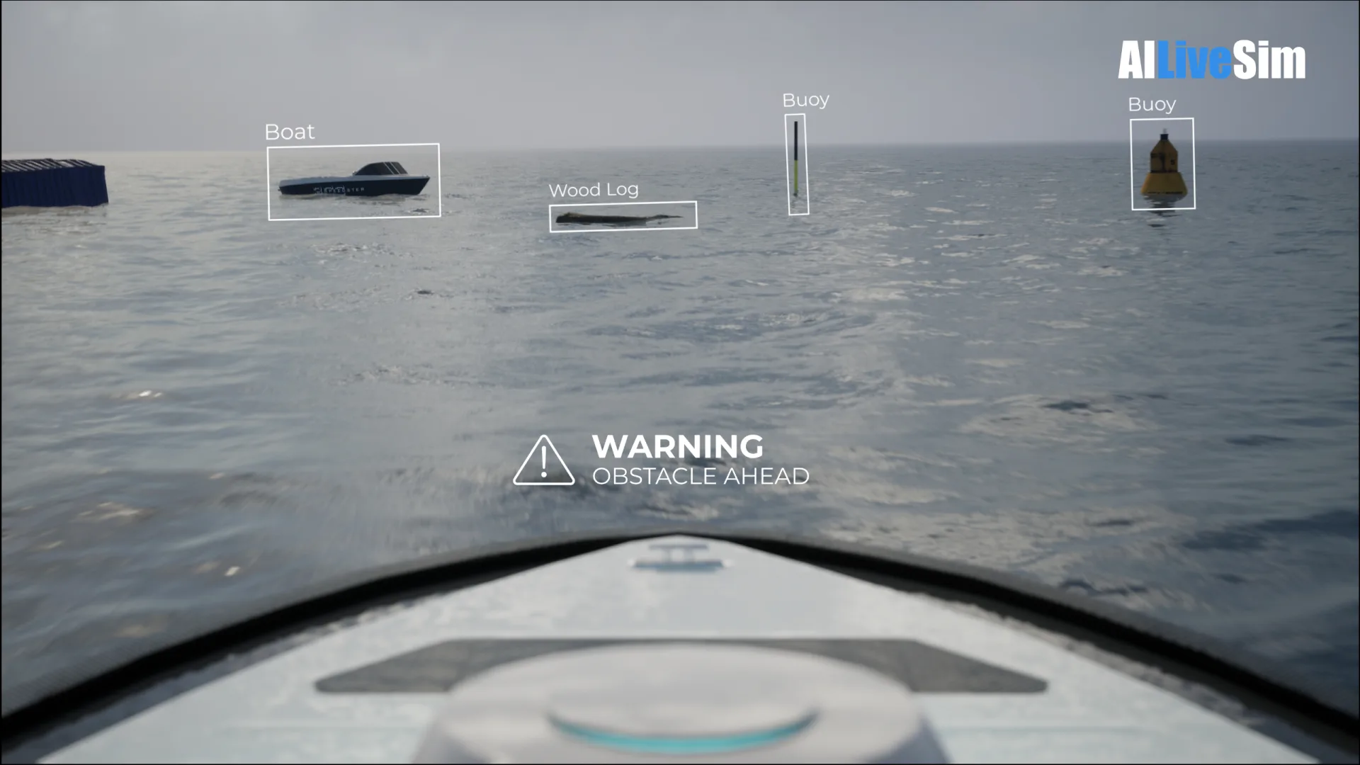
Sensor fusion cross-verifies targets through RADAR, AIS, and cameras—dramatically cutting false positives while AI dynamically reroutes around emerging threats.
That said, the real magic might be during GPS spoofing or jamming incidents—terrain-based radar matching seems to keep position locked even then. Satellite gone dark? The system keeps running.
What’s particularly interesting is how software upgrades are transforming standard marine radars into autonomous navigation workhorses. No massive hardware overhaul needed. With maritime trade volumes expected to triple by 2050, scalable sensor solutions that don’t require fleet-wide hardware replacement become increasingly critical.
The 360-degree situational awareness that integrated radar systems provide ensures vessels maintain comprehensive environmental monitoring even as conditions shift. Machine learning algorithms enable these systems to analyze sensor data in real-time, improving decision-making as vessels encounter dynamic environmental changes. Still, we should probably acknowledge that centimeter precision in all conditions remains aspirational for most setups. Even so, the trajectory is clear: RADAR’s becoming the anchor technology when other sensors fail or conditions deteriorate.
Dynamic Obstacle Detection Through LiDAR Sensors for Autonomous Ship Path Planning in Dense Traffic
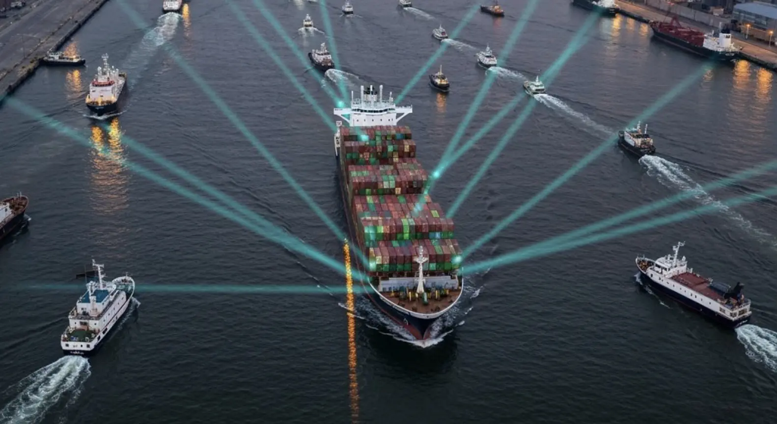
LiDAR sensors are throwing millions of laser points per second at the water, building 3D maps with centimeter-level accuracy. That kind of precision? It matters when you’re threading through harbor traffic or dodging debris.
These systems can detect objects over 200 meters out, day or night—something cameras simply can’t match. The real magic happens when real-time processing kicks in, tracking velocity and trajectories of moving vessels. All that data feeds into adaptive path planning algorithms like RRT and VFH, which appear to reroute dynamically as traffic patterns shift around them.
Key LiDAR capabilities for dense traffic navigation:
- 360-degree panoramic coverage from mast-mounted sensors gives ships eyes everywhere
- Near-instantaneous obstacle detection crunches through millions of points per second
- Object classification seems to distinguish vessel types from floating hazards, though accuracy likely varies with conditions
- Sensor fusion integration with radar appears to improve recognition accuracy—at least in most scenarios
- Dynamic corridor generation maintains what are essentially collision-free paths through evolving conditions, though “collision-free” might be optimistic in truly chaotic situations
The technology’s evolution toward smaller, lighter sensors is expanding deployment options across different vessel classes and configurations. Processing workflows typically involve data acquisition, denoising, and filtering before coordinate transformation converts raw points into actionable navigational intelligence. While LiDAR performs consistently across varying lighting conditions, weather detection algorithms adjust operational parameters during heavy rain or fog to maintain reliable obstacle detection.
Optimizing Collision Avoidance Routing With Collision Avoidance Algorithms in Dense Traffic Under Uncertainty
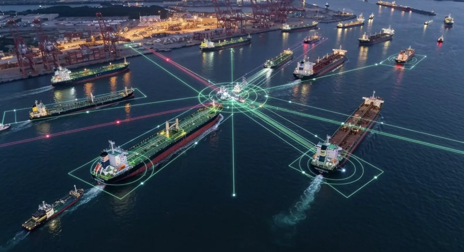
Dense traffic doesn’t wait for perfect information, and neither do collision avoidance algorithms. That said, approximate representation reinforcement learning seems to offer a promising middle ground—it merges COLREGs with prior knowledge and handles continuous state-space environments fairly efficiently.
When it comes to multi-ship chaos, deep RL appears to tackle the problem through scene segmentation, though it’s worth noting that performance still drops by 12.6% in high-density settings. Even so, that’s considerably better than baseline models, which lose anywhere from 18.4% to 45.2% of their effectiveness.
The Beam Search Algorithm takes a different approach. It crunches trajectories for 30 vessels simultaneously—no small feat—while ensuring minimal closest point of approach distances. On top of that, modified velocity obstacle methods can predict collisions by analyzing velocities and courses, essentially fusing AIS and ECDIS data to maintain real-time awareness.
It’s likely that this fusion approach works best when data quality is consistent, though real-world conditions may challenge that assumption. The integration of ship maneuverability constraints alongside COLREGs compliance ensures that collision-free navigation remains feasible even as traffic complexity increases.
LSTM-RL hybrids have shown they can outperform model-free policies, particularly in unknown waters where adaptability matters most. The learning process typically stabilizes around the 1500th training epoch, marking the point where optimal path performance becomes consistent.
Meanwhile, evolutionary algorithms generate what might be considered ideal paths, at least in theory, while respecting international rules. Whether these “ideal” paths hold up under the messy realities of actual maritime traffic remains an open question, but the approach certainly shows promise.
Artificial Potential Field Methods and Local Maneuver Optimization for Path Planning in Congested Waters
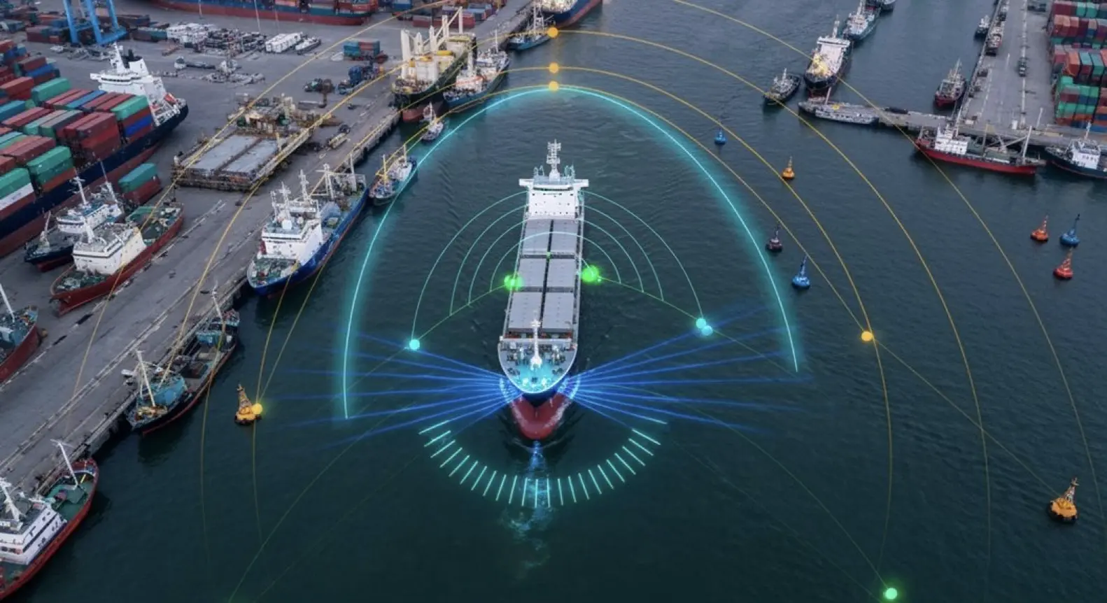
Adaptive repulsive fields can adjust their force based on how fast obstacles are moving and how close they get—though the exact tuning often depends on the specific scenario.
When vessels find themselves stuck in obstacle-dense regions, virtual sub-goals seem to offer a way out of the deadlock. That said, implementing these can be tricky when multiple ships converge simultaneously.
Some APF variants now incorporate COLREGS compliance, essentially trying to align the mathematical maneuvers with what maritime law actually requires. It’s an interesting approach, even if the translation from regulations to force fields isn’t always straightforward.
On top of that, researchers have started using ellipsoidal fields to better capture the actual shape of ships—after all, most vessels aren’t perfect circles. This appears to enable tighter passages while (hopefully) maintaining safety margins.
Perhaps most telling is how multi-objective cost functions attempt to juggle everything at once: collision risk, fuel consumption, and staying on the right side of regulations.
The weighting between these factors likely varies depending on whether you’re navigating a busy strait or open waters, though finding the right balance remains something of an art. Improved algorithms have shown that smoother trajectories naturally reduce fluctuations in heading angle and yaw rate, which contributes to overall vessel stability. Hybrid approaches now generate global and local paths separately to address different scales of the navigation problem more effectively. The integration of new virtual forces helps ensure that autonomous vessels maintain appropriate collision avoidance maneuvers even when encountering unpredictable strategies from other ships.
Path Planning Through Marine Traffic Management: The Role of Velocity Obstacle Method Under Uncertainty
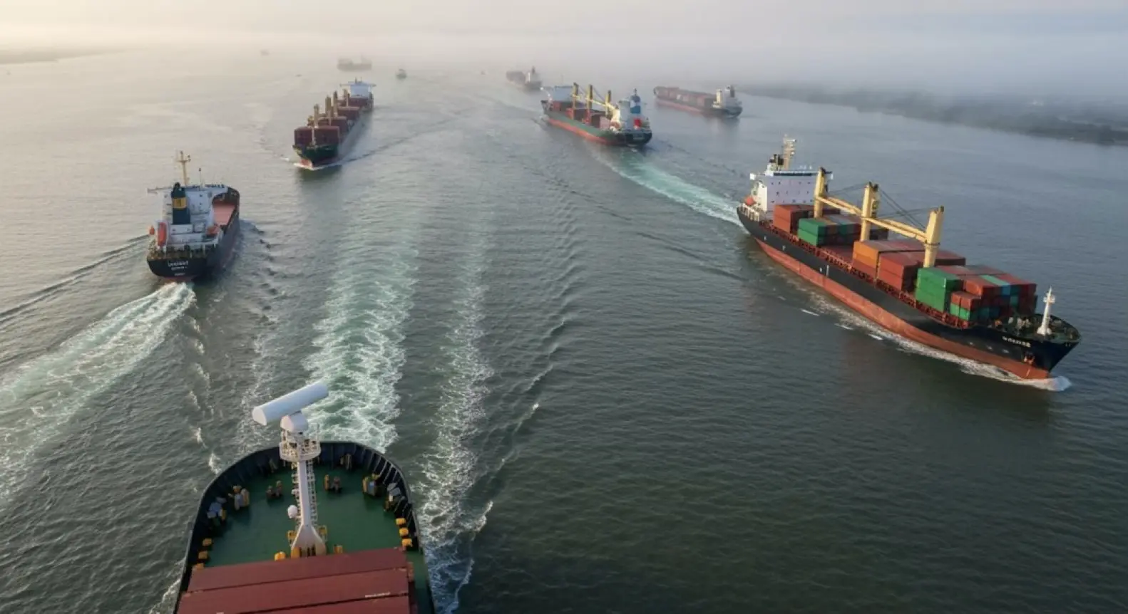
Predicting collisions in crowded waters? It’s a moving target—literally. The Velocity Obstacle method essentially maps out which velocity sets would lead ships straight into collision, creating a real-time visualization of danger zones.
Now, modified VO algorithms take things further, adapting for the actual maneuverability limits ships face and, crucially, COLREGs compliance.
But here’s where it gets tricky: uncertainty from sensor fusion errors and incomplete vessel data seems to complicate just about everything. When your radar gives you one reading and AIS another, or when that fishing vessel ahead isn’t broadcasting at all, the neat mathematical models start to wobble.
That said, asymmetric grey cloud models appear to offer a way forward, quantifying this ambiguity while computing collision-free velocity sets on the fly.
What’s particularly interesting is how the system handles multiple traffic participants at once. Rather than treating each vessel in isolation, it generates what might be called minimal evasive actions—just enough to avoid collision while maintaining route efficiency. Hybrid approaches combining VO with A path optimization have shown they can reduce collision avoidance distances by notable margins in multi-encounter scenarios.
The real-time feedback control then executes these velocity commands, though one wonders how well this translates when seas get rough or visibility drops.
The promise is compelling: autonomous vessels navigating congested sea lanes safely without breaking international navigation rules. Even so, the gap between computed ideal velocities and what a vessel can actually achieve in practice likely remains a challenge worth watching.
Strengthening Risk Assessment for Autonomous Ship Path Planning With Dynamic Window Approach
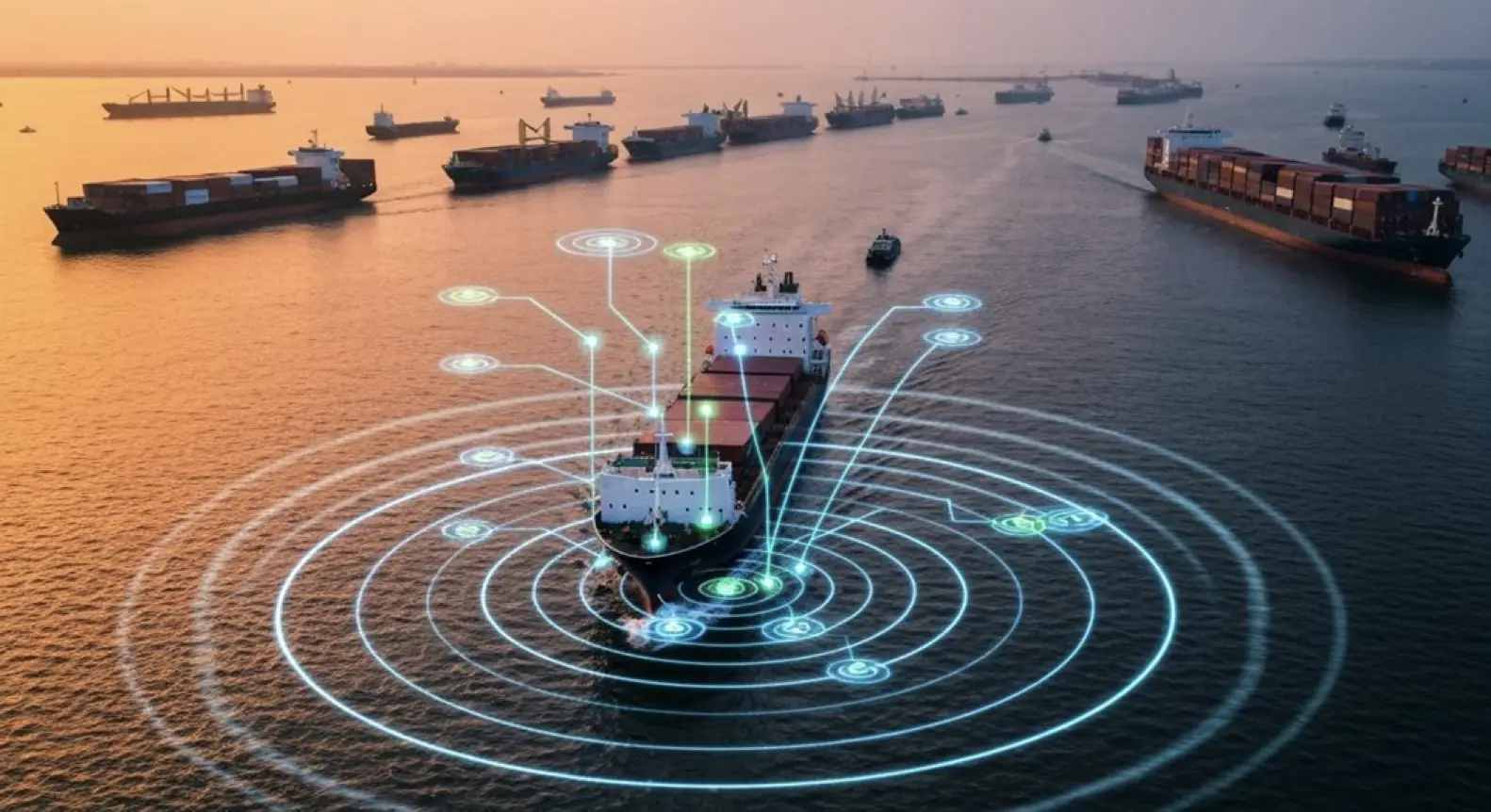
Maneuvering crowded harbors at speed demands split-second decisions, and that’s where Dynamic Window Approach earns its keep.
Here’s the thing—DWA filters candidate trajectories to only what’s physically achievable. No fantasy moves allowed. It assigns each path a collision hazard probability score, which seems to separate death traps from safe routes pretty effectively.
DWA keeps ships honest—only real maneuvers make the cut, then probabilistic scoring filters catastrophic paths from survivable ones.
Meanwhile, sensor fusion pumps in live radar, camera, and AIS data. The decision loop? Constantly updating. When obstacles shift positions, DWA appears to recalculate avoidance points on the fly, though the exact speed of this recalculation likely depends on computational resources.
Key DWA capabilities for real-time risk mitigation:
- Constrains trajectories within vessel kinematic limits—essentially ensuring the ship doesn’t attempt a turn it can’t physically make.
- Assigns probabilistic risk values to each candidate path, though these probabilities may vary in accuracy depending on sensor quality.
- Updates collision avoidance points as sensor data changes (assuming the sensors themselves remain reliable).
- Appears to handle multiple moving obstacles simultaneously, even in dense traffic like container ships weaving between fishing vessels.
- Selects what should be the lowest-risk trajectory, attempting to balance safety and efficiency—though “lowest risk” might mean different things to different operators.
COLREGS Framework: Governing Sensor Fusion for Path Planning in Dense Maritime Traffic
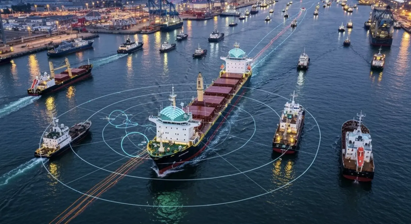
Split-second avoidance maneuvers don’t mean much if they break international maritime law.
Here’s the thing: COLREGs—the International Regulations for Preventing Collisions at Sea—weren’t exactly written with robots in mind. The rules talk about “masters” and “crew,” assuming there’s a human at the helm.
Now sensor fusion systems are trying to encode these regulations into algorithm, crunching data from radar, AIS, GPS, and cameras to rank collision risks in milliseconds.
But there’s a problem. Many COLREGs seem to require the kind of subjective judgment that’s hard to code—what looks “safe” to one captain might appear risky to another.
The IMO’s scoping exercise has already flagged serious regulatory gaps when it comes to unmanned vessels. Path planners have to decide whether to “give-way” or “stand-on” based on vessel type and those tricky Rule 9 channel restrictions.
Meanwhile, the technology keeps surging forward. Legal frameworks? They’re still playing catch-up, and it’s not clear they’ll close the gap anytime soon.
Interested in synthetic data for your project? AILiveSim 2.0 (our new version!) enhances AI-based simulation for multi-sensor autonomous systems - automating data generation, analysis, and augmentation to streamline model training and testing. Find out more: AILiveSim
Did you know ?
How Does Sensor Fusion Handle GPS-Denied Navigation in Coastal Areas?
When GPS fails near coasts, sensor fusion combines IMU dead reckoning, visual odometry (tracking features like outcroppings), LiDAR, and radar. Kalman filters weigh inputs, while map-based relocalization corrects drift—assuming coastal maps stay current despite storms and development.
What Computational Requirements Are Needed for Real-Time Multi-Sensor Fusion Processing?
When radar, LiDAR, and camera streams hit multi-core processors simultaneously, we're talking 10-500 GFLOPS and 1-64 GB RAM. The real challenge? Sub-100ms latency in dense traffic. GPUs and FPGAs aren't nice-to-have anymore—they're essential for hitting these targets consistently.
How Do Different Sensor Fusion Algorithms Compare in Latency Performance?
EKF delivers moderate latency for real-time maritime use. Particle filters bog down from sampling complexity. AI-driven fusion demands substantial processing but can outpace traditional methods with GPU acceleration—though it struggles on CPU-bound systems.
What Calibration Methods Ensure Spatial Alignment Across Heterogeneous Sensor Types?
Getting wildly different sensors to agree on where things are? That's where target-based calibration comes in—using fiducial markers like checkerboards or ArUco tags. Then there's the hand-eye transformation puzzle, linking each sensor's frame to the vehicle's reference system.
How Does Sensor Fusion Degradation Affect Path Planning Safety Margins?
When sensor fusion degrades, path planners expand obstacle avoidance zones—a defensive admission that the system can't trust its own eyes. Bigger buffers around objects, slower speeds. Less certainty means wider berths, though finding the sweet spot between caution and efficiency isn't trivial.
Parting Shot
Listen. RADAR, LiDAR, AIS, visual sensors—they merge through adaptive algorithms at maritime autonomy’s cutting edge. Dense traffic doesn’t wait. Can you imagine navigating through a swarm of vessels when your sensors feed conflicting data, when uncertainty clouds every calculation, when milliseconds separate success from catastrophe?
Ships move. Sensors fail. Uncertainty never sleeps.
Think about this: COLREGS compliance demands precision; velocity obstacles require prediction; artificial potential fields need constant recalculation. Together, they form a puzzle. Together, they must solve themselves. Together, they determine whether an autonomous vessel threads safely through congested waters or becomes tomorrow’s headline. The technology works—mostly. When sensors align, when algorithms converge, when probabilistic models accurately predict the chaos of maritime traffic, these systems demonstrate remarkable capability.
Mostly.
But here’s what matters: failure isn’t theoretical. Out there, where salt spray blinds cameras and radar ghosts dance across screens, that’s where probabilistic models face their trial. Real water. Real stakes. Real consequences. You know the difference between simulation and reality? One forgives errors; the other doesn’t.
Consider the chain of decisions: sensor fusion processes terabytes of data, path-planning algorithms evaluate thousands of trajectories, collision-avoidance systems trigger in fractions of seconds—all while waves pound the hull, while weather degrades visibility, while human-operated vessels behave unpredictably. The margin for error shrinks with every added variable. Complexity compounds. Risk multiplies.
Yet the promise remains irresistible. Autonomous ships could revolutionize maritime transport, reduce human error, optimize fuel consumption. If, and only if, we master this dance between certainty and chaos.
The catch? Technology must perform flawlessly when flawlessness seems impossible.
Resources
Explore Our Latest Insights
Stay informed with our expert articles and updates.
Article
Have You Tested Enough? Intelligent System Testing and the Coverage Problem
Test volume measures effort, not proof. How Intelligent System Testing samples scenarios adaptively to map where an autonomous system works, where it fails, and which combination of conditions moves it from one to the other.

AILiveSim
August 22, 2026 • 4 min read
Article
Swarm Defense Testing: Measuring Intercepts, Not Detections
Why no volume of captured data validates swarm defense: adversarial scenarios generated live around the system under test, scored as intercepts achieved versus hits on the protected vessel across repeatable, parameterizable waves.
AILiveSim
August 17, 2026 • 4 min read
Article
Counter-Drone Detection: Why Precision Fails Before Recall Does
Why counter-drone detection fails on precision before recall: negative-class coverage by sensor channel, and scoring threats neutralized alongside friendlies preserved on repeatable, configurable drone waves.
AILiveSim
August 13, 2026 • 4 min read

Article
What Has to Be Inside an Airport Digital Twin Before It Is Worth Anything
What an airport digital twin must contain before it is worth anything: rare surface conditions, four time-aligned sensors, automatic labelling, and procedural generation that extends to your airport.
AILiveSim
August 10, 2026 • 4 min read
Discover the benefits of synthetic data and simulation
By navigating on this site you agree that we use only minimal cookies required for this site to function. We do not monetize your data.