AI Live Sim

By clicking Subscribe you're confirming that you agree with our Terms and Conditions.
5 Ways Precision Docking Systems Leverage GPS Navigation to Improve Operational Accuracy
Key Points
Tip 1: Use GPS Satellite Systems for Continuous Centimeter-Level Position Tracking in Real-Time Alignment
Tip 2: Apply Differential GPS Technology to Achieve Enhanced Correction Signal Precision in Sensor-Guided Positioning
Tip 3: Implement Real-Time Kinematic Positioning for Autonomous Error-Free Automated Berthing Control
Tip 4: Leverage Position Fixing Methods to Calculate Optimal Approach Vectors with Predictive Trajectory Adjustment
Tip 5: Integrate Automatic Identification Systems to Prevent Multi-Vessel Harbor Collisions Through Collision Avoidance Protocols
Frequently Asked Questions
Parting Shot
Article
5 Ways Precision Docking Systems Leverage GPS Navigation to Improve Operational Accuracy

November 12, 2025 • 25 min read


Precision docking systems turn GPS from a rough guide into surgical-level automation through five key methods: real-time kinematic positioning delivers centimeter accuracy by tracking carrier-phase satellite signals, differential GPS refines standard 5-15 meter readings down to 1-3 meters using ground station corrections, multi-constellation GNSS guarantees continuous coverage across GPS, Galileo, BeiDou and GLONASS networks, sensor fusion integrates positioning data with cameras and LiDAR for obstacle detection, and Automatic Identification Systems broadcast vessel locations to prevent harbor collisions. The technology transforms captain-dependent docking into automated berthing that updates position corrections at 10 Hz—details below explain how each component works together.
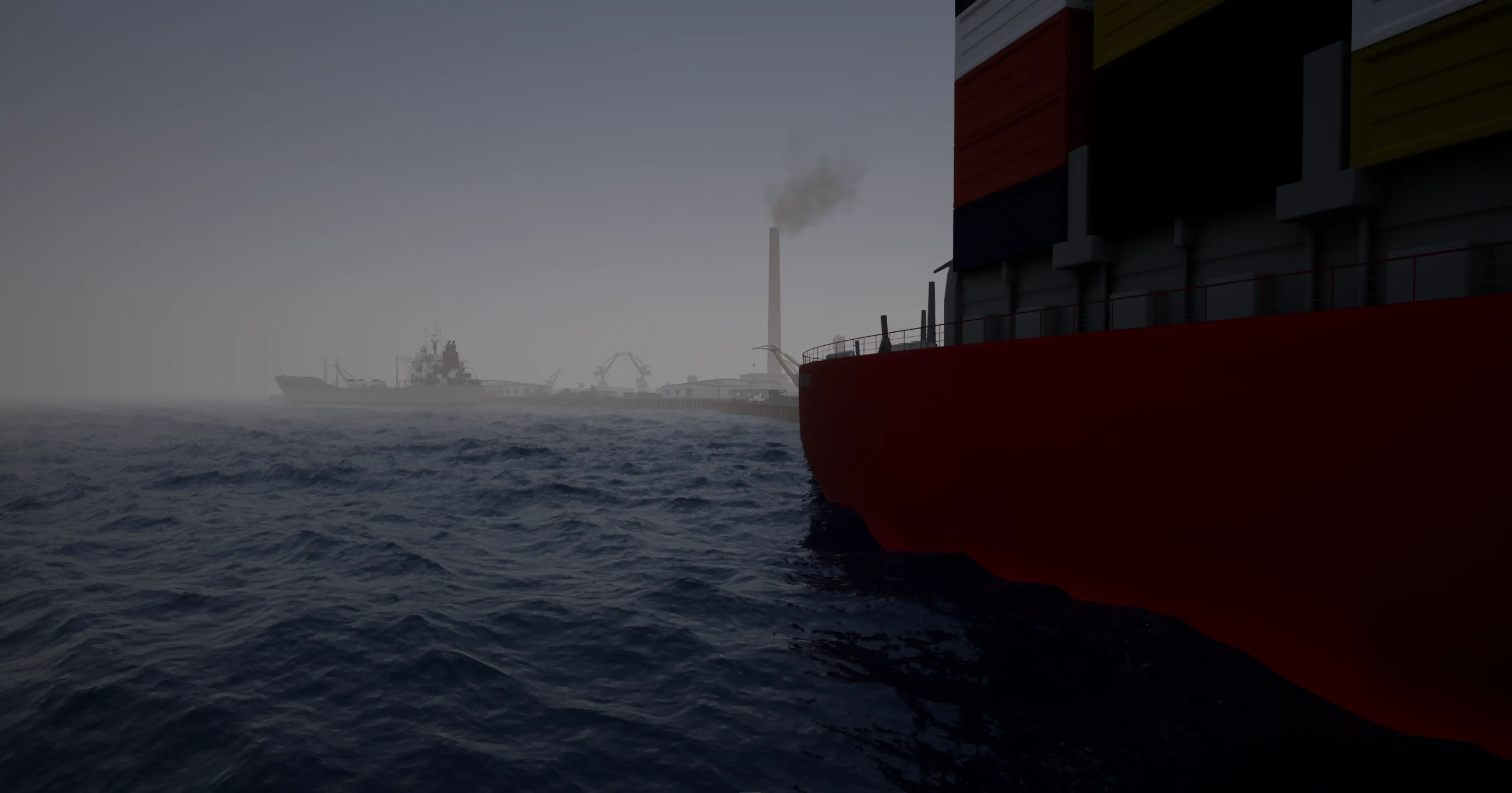
Key Points
- ● RTK-GNSS delivers centimeter-level positioning accuracy, enabling automated vessel berthing without manual intervention through continuous satellite signal tracking.
- ● Sensor fusion integrates GPS with LiDAR, cameras, and IMUs to maintain spatial awareness and enhance collision avoidance during docking maneuvers.
- ● Network RTK achieves 8mm horizontal accuracy using multiple reference stations, mitigating atmospheric interference and satellite errors across operational areas.
- ● Predictive trajectory systems issue micro-corrections at 10Hz to vessel actuators, compensating for wind, current, and drift in real-time.
- ● AIS integration with GPS provides comprehensive vessel traffic management, broadcasting position and heading data to prevent collisions in crowded harbors.
AILiveSim's expertise areas are in multi-sensor simulation and synthetic data generation for autonomous maritime systems, enabling developers to train and validate the type of GPS-sensor fusion, collision avoidance algorithms, and automated berthing control described in this article. AILiveSim aims to build trust in AI synthetic data by providing high-fidelity simulation environments where complex docking scenarios, edge cases, and multi-vessel interactions can be safely tested before real-world deployment—trusted by maritime and defense customers to accelerate autonomous system development while reducing physical testing costs. Visit our website: AILiveSim.
Tip 1: Use GPS Satellite Systems for Continuous Centimeter-Level Position Tracking in Real-Time Alignment
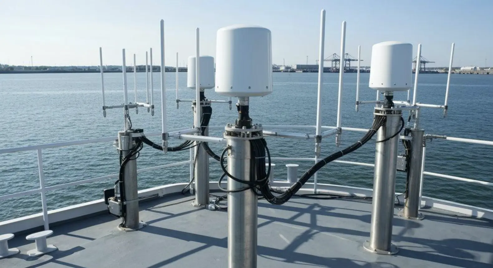
Precision changes everything. Real-time kinematic positioning from GPS satellites delivers centimeter-level accuracy—accuracy that standard GNSS can never touch. Multiple constellations beam continuous position data: GPS, Galileo, BeiDou, GLONASS. With this torrent of signals, automated docking eliminates guesswork entirely; sensor fusion integrates high-precision GNSS into your vehicle systems, collision avoidance becomes automatic, and position tracking updates flow without pause. No latency. No error.
Consider what this means for you. RTK positioning achieves centimeter precision while standard GNSS wallows in meters of uncertainty. Multi-constellation signals blanket all environments—urban canyons, open fields, mountainous terrain—with maximum coverage and reliability. Real-time data flows up-to-the-second, eliminating alignment error before it compounds. Sensor fusion weaves GNSS readings with onboard systems: cameras, LiDAR, IMUs, creating a unified automation framework that thinks faster than any human operator. Continuous tracking maintains constant spatial awareness, detecting obstacles, calculating trajectories, preventing collisions before they threaten. Why accept meters when you can demand centimeters?
Constant updates. Constant awareness. Constant precision.
Constant control.
| Feature | Impact on Docking |
|---|---|
| RTK Positioning | Achieves centimeter precision vs. meters with standard GNSS |
| Multi-Constellation Signals | Maximum coverage and reliability in all environments |
| Real-Time Data Flow | Up-to-the-second updates eliminate alignment error |
| Sensor Fusion Integration | Combines GNSS with vehicle systems for automation |
| Continuous Tracking | Constant spatial awareness prevents collisions |
From orbit to earth, the mathematics never sleep. Satellites triangulate your position thousands of times per second—each calculation refining the last, each correction measured in millimeters. High-quality GNSS antennas capture these signals with exceptional fidelity, ensuring that every carrier phase measurement feeds the RTK algorithm without degradation. Base station differencing resolves ambiguities between reference and rover receivers, driving precision beyond what standalone positioning could achieve. SBAS correction data broadcasts from geostationary satellites eliminate atmospheric errors and clock drift in real-time, pushing accuracy boundaries even further. This isn’t approximate navigation; it’s surgical precision applied to movement.
Tip 2: Apply Differential GPS Technology to Achieve Enhanced Correction Signal Precision in Sensor-Guided Positioning
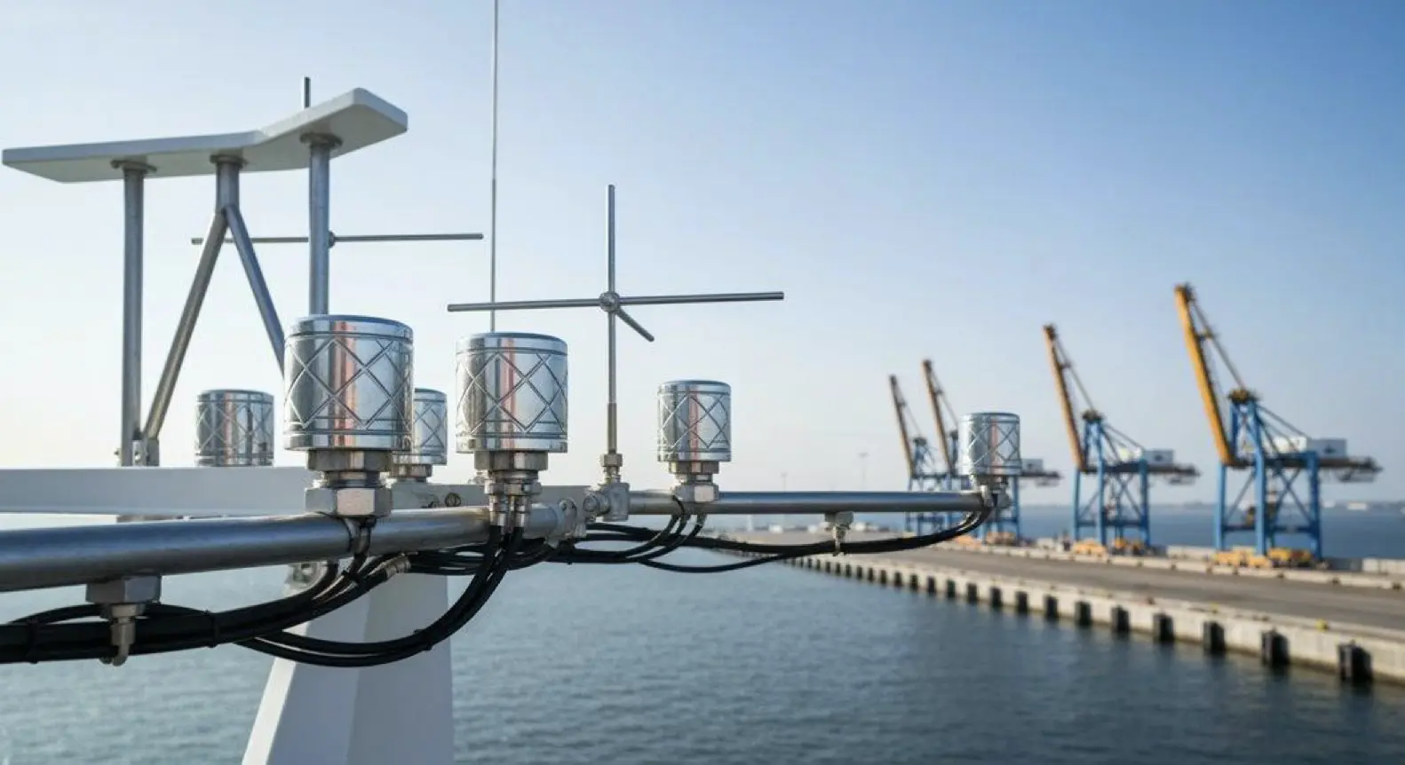
Standard GPS alone delivers accuracy of 5–15 meters. That’s enough for basic vessel guidance. Nothing more.
But when you add DGPS with ground markers, the picture sharpens: 1–3 meters becomes your new baseline for port approach navigation.
Now imagine pairing DGPS with an ultrasonic distance measurement system—suddenly you’re operating at sub-meter to centimeter precision, and automated berthing control systems spring to life with newfound confidence.
RTK carrier-phase DGPS takes it further still, offering 1–2 centimeters of accuracy; this level transforms dynamic positioning control interfaces from hopeful tools into surgical instruments.
Multi-sensor fusion marries DGPS with INS, delivering centimeter-level precision for critical docking maneuvers—the kind where inches matter, where hesitation costs, where perfection is the only acceptable outcome.
Can you see the pattern?
Standard GPS guides. Standard GPS orients. Standard GPS gives you a neighborhood—but DGPS gives you the address.
Meanwhile, DGPS with ground markers refines that address to the building; ultrasonic enhancement pinpoints the doorway.
Each technological layer strips away uncertainty, meter by meter, until RTK and multi-sensor fusion leave you standing at centimeter resolution.
Here’s what you need to remember: accuracy isn’t a luxury in modern maritime operations. It’s survival.
Five positioning methods exist—Standard GPS, DGPS with ground markers, DGPS enhanced by ultrasonics, RTK carrier-phase DGPS, and multi-sensor fusion—each suited to different demands, different risk profiles, different stakes.
Choose wisely. Match your method to your mission. Reference stations broadcast corrections using short-range transmitters to eliminate systematic errors that would otherwise compromise your positioning data. Integration with NMEA 2000 networking enables seamless onboard communication between GPS receivers and docking control systems. Advanced systems now support multiple GNSS constellations including GPS, GLONASS, BeiDou, Galileo, QZSS, and NAVIC for enhanced reliability and global coverage. Because when your vessel weighs thousands of tons and the margin for error measures in centimeters, the wrong technology doesn’t just fail. It fails spectacularly.
Tip 3: Implement Real-Time Kinematic Positioning for Autonomous Error-Free Automated Berthing Control
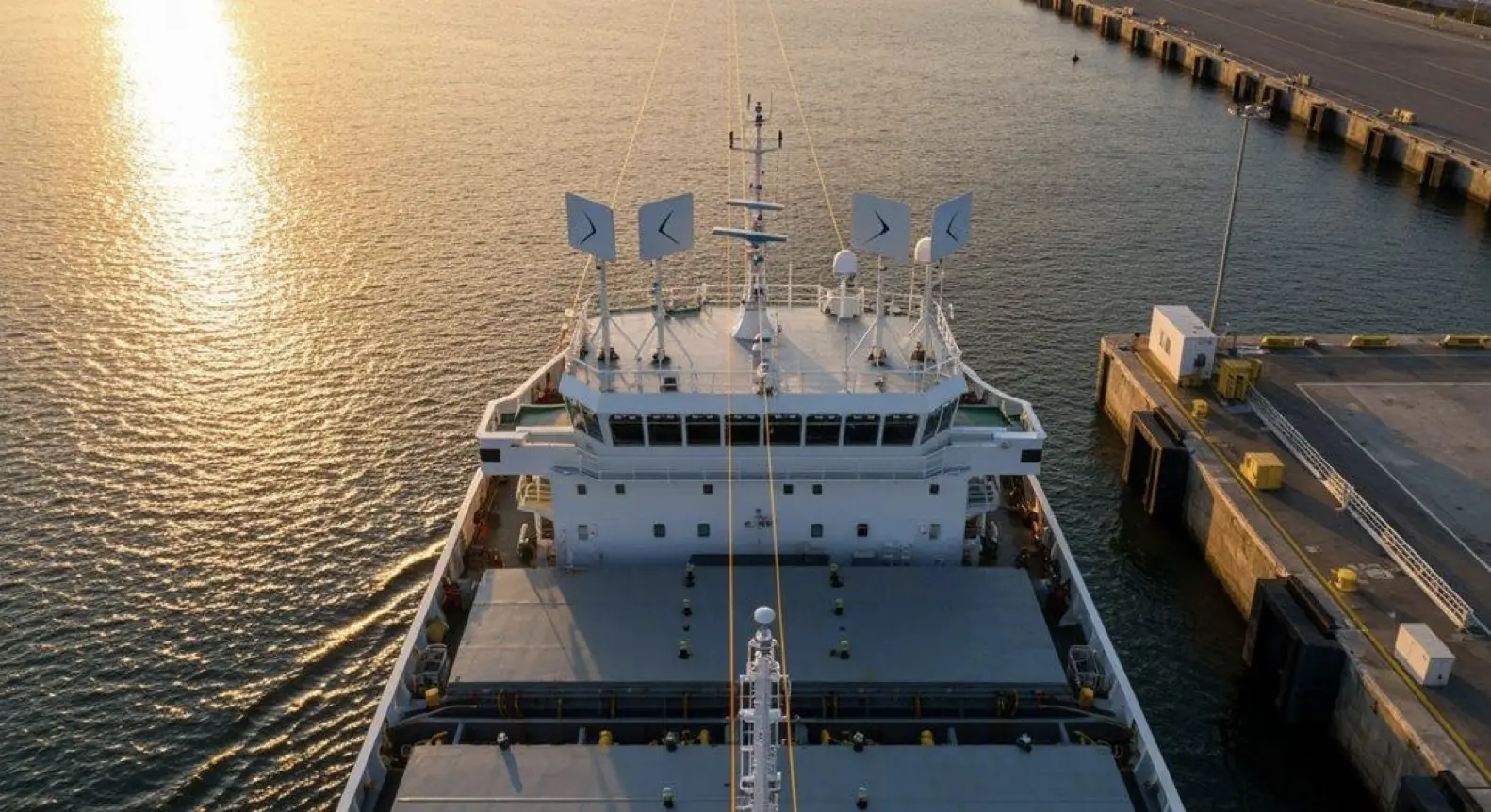
DGPS sharpens the picture to meters. Real-time kinematic positioning? Centimeters—literally. RTK-GNSS delivers centimeter-level accuracy for automated berthing, enabling autonomous vessel approach systems to dock without human babysitting.
Multi-sensor integration frameworks fuse RTK with inertial nav to power docking automation and collision avoidance algorithms while real-time correction data transmission keeps everything tight. No drama.
Carrier-phase tracking gives you centimeter precision. Reference stations broadcast real-time corrections across 20–30 km coverage zones.
Multi-sensor fusion—INS plus RTK integration—builds signal loss resilience into the system. You need RTCM data streams for low-latency transmission; they push continuous position updates to autonomous control loops that dynamically adjust the vessel’s path. Zero manual intervention required.
Here’s what RTK brings: error-free final approach, error-free docking maneuvers, error-free peace of mind. Then perfection.
Why babysit a boat when technology can handle the dance? Consider the components working in concert—carrier-phase tracking locks onto satellite signals with surgical precision, reference stations transmit corrections in real time, and autonomous control loops digest every data point to guide the vessel home.
The result: docking automation that never blinks, never hesitates, never fails.
No collisions.
RTK-GNSS doesn’t just improve berthing; it revolutionizes it. Centimeter-level accuracy transforms what was once a high-stakes gamble into a predictable science.
Multi-sensor integration frameworks catch what RTK might miss during signal dropouts, and the fusion of inertial navigation with satellite positioning creates a safety net you can trust. Real-time correction data flows through RTCM streams, feeding autonomous systems the intelligence they crave. Network RTK strategies extend coverage beyond single base stations, achieving 8 mm + 0.5 ppm horizontal accuracy through multiple reference stations that mitigate positioning errors across larger operational areas. The base station setup minimizes signal errors from atmospheric interference and satellite clock discrepancies that would otherwise compromise positioning accuracy. The system’s robust design ensures reliable operation even in challenging maritime environments where saltwater spray and vessel vibration could compromise standard equipment.
The vessel approaches. The vessel adjusts. The vessel docks.
Flawlessly.
Tip 4: Leverage Position Fixing Methods to Calculate Optimal Approach Vectors with Predictive Trajectory Adjustment
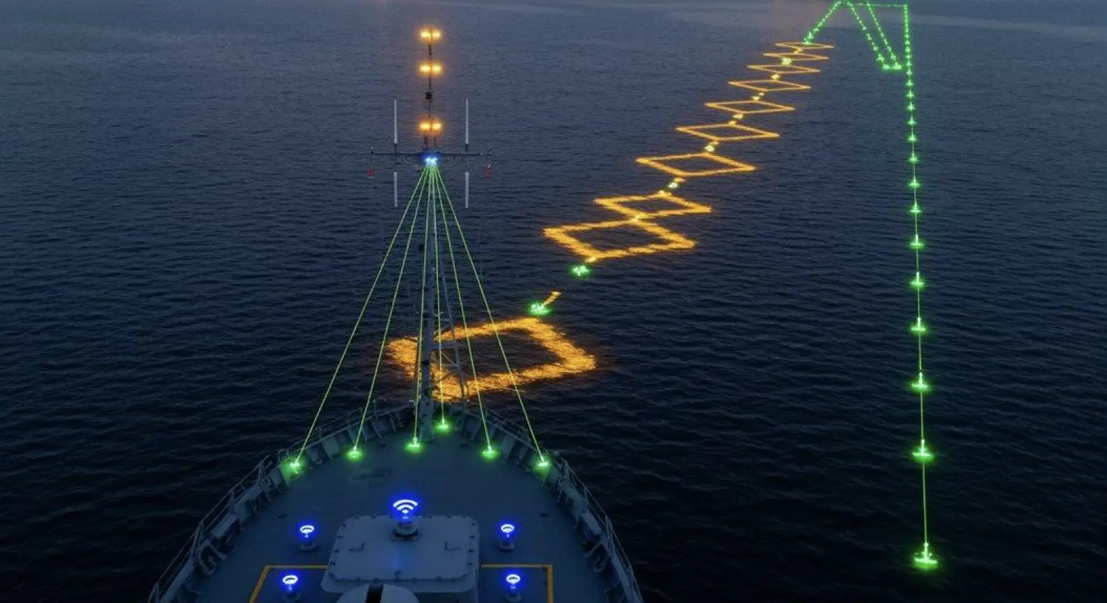
Calculate the vector. Adjust the path. Dock the vessel.
Multi-constellation positioning technology feeds real-time alignment monitoring platforms that predict trajectory shifts during approach, while GPS-assisted mooring automation integrates dynamic positioning software with inertial navigation systems—and distance measurement updates hit 10 Hz.
Predictive trajectory adjustment systems compensate for wind and current, issuing micro-corrections to actuators with such precision that you might forget a human hand ever guided these operations. Electronic navigation logs everything: every degree of yaw, every meter of drift, every thruster pulse.
Then automated fender contact detection confirms berthing.
During approach, the vessel recalculates. During alignment, the vessel recalculates. During final closure, the vessel recalculates. After that? Pure autonomy.
Can you imagine harbormaster assistance being optional? It is now. The technology orchestra plays itself—GPS constellations above, inertial sensors within, positioning algorithms between.
Real-time data streams through fiber; software interprets wind shear and current set before you even notice the pennant shift. Micro-corrections flow to bow thrusters, to stern thrusters, to azimuth drives.
The system predicts where the hull will be in thirty seconds, adjusts thrust in three.
Ten-hertz updates mean ten decisions per second. That’s faster than human reaction time, smoother than human touch, more consistent than human attention across a twelve-hour watch.
The vessel becomes its own pilot, reading invisible forces, compensating continuously. These precise recovery and docking systems evolved through decades of maritime integration expertise applied to autonomous vessel operations. The joystick controls enable manual override when the captain chooses to intervene during autonomous sequencing. Short sentences drive action. Longer sentences build the technical symphony, layering sensor upon software upon actuator in a feedback loop that never sleeps, never loses focus, never second-guesses the math. The system stores 50 days of data via solid state drive, archiving every approach vector and correction command for future analysis.
And at contact? The fenders know.
Everything is logged. Everything is measured. Everything is optimized for the approach you’re watching unfold autonomously before your eyes.
Tip 5: Integrate Automatic Identification Systems to Prevent Multi-Vessel Harbor Collisions Through Collision Avoidance Protocols
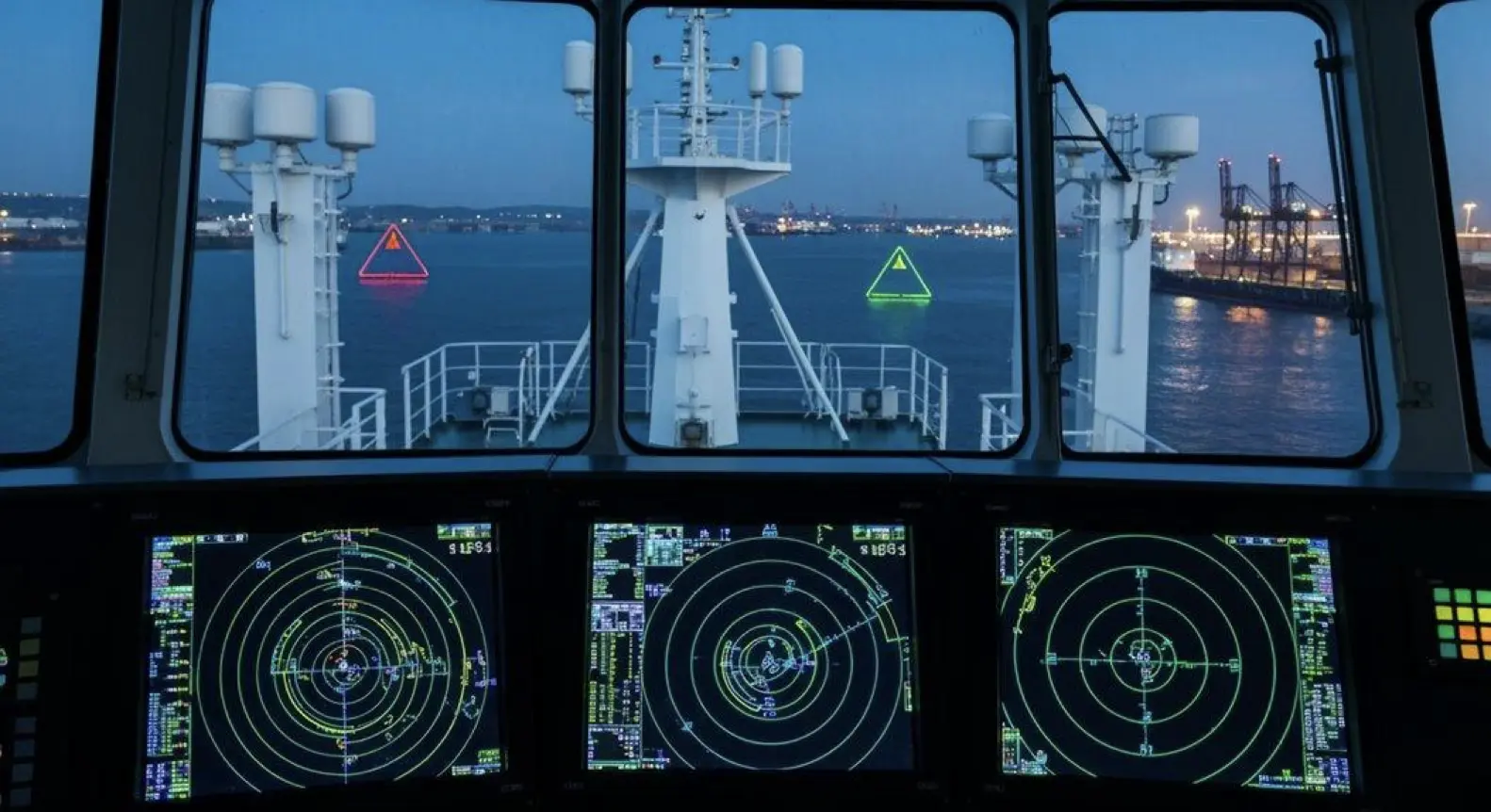
Ships broadcast their presence. They broadcast position, speed, heading. They broadcast identity—and that broadcast saves lives. Why? Because AIS feeds real-time data into collision avoidance systems, enabling the proximity calculations that prevent harbor chaos.
Integration with radar sharpens the picture. Electronic chart overlays add context. Together, these components give vessel traffic management the edge during high-density scenarios: multiple ships converging, weather closing in, human attention stretched thin. Chaos dissolves into choreography.
Consider the architecture. AIS plus GPS positioning tracks vessel coordinates automatically; radar fusion confirms identity and filters spoofing attempts, those digital ghosts that haunt busy ports. Electronic charts overlay traffic patterns for visual threat assessment, transforming raw data into actionable intelligence.
Then VTS coordination sequences arrivals and prevents crossing paths—the air traffic control of the sea.
Regulatory compliance isn’t optional. It’s mandatory for harbor management operations, encoded in international maritime law and enforced by port authorities worldwide.
You cannot operate a commercial vessel in most harbors without functioning AIS; you cannot claim ignorance when the technology exists to see every ship within twenty miles.
The rhythm of integration matters: automatic identification cascades into collision prediction, prediction triggers alerts, alerts empower human decision-makers.
Long sentences describe the layered systems working in concert to parse vessel movements across crowded waterways and translate electronic signals into safe passage. Short ones drive it home. Like this.
Multi-vessel scenarios demand this fusion. A single sensor lies; cross-referenced systems reveal truth.
The harbor that integrates AIS with radar, charts, and traffic services doesn’t just manage vessels—it orchestrates safety at scale.
Not optional. Mandatory.
Interested in synthetic data for your project? AILiveSim 2.0 (our new version!) enhances AI-based simulation for multi-sensor autonomous systems - automating data generation, analysis, and augmentation to streamline model training and testing. Find out more: AILiveSim
Frequently Asked Questions
What Happens to GPS Navigation Accuracy During Severe Weather Conditions?
GPS navigation accuracy degrades during severe weather as heavy precipitation attenuates signals, reducing signal-to-noise ratios by 5-10 meters. Ionospheric disturbances from geomagnetic storms can increase positioning errors to 70 meters, while tropospheric delays compound timing inaccuracies.
How Do Atomic Clocks in Satellites Maintain Nanosecond-Level Timing Precision?
Atomic clocks maintain nanosecond precision through cesium electron transitions at fixed microwave frequencies, electromagnetic isolation in vacuum chambers, relativistic pre-adjustments during manufacturing, and regular ground-based calibration updates that compensate for orbital drift and environmental factors.
Can GPS Signals Penetrate Underwater for Submarine Docking Operations?
GPS signals cannot penetrate underwater due to rapid attenuation in conductive seawater, with signal loss occurring within centimeters of submersion. Submarines rely on surface GPS reception, then use acoustic positioning systems and inertial navigation for underwater docking operations.
What Backup Systems Activate When Satellite Signals Are Jammed or Spoofed?
When GPS signals are jammed or spoofed, Inertial Navigation Systems (INS) activate immediately, using onboard accelerometers and gyroscopes. Anti-jamming antennas, spectrum monitoring, and redundant sensors like vision, radar, and lidar provide continuous positioning and operational integrity during outages.
How Does Multi-Constellation GNSS Integration Improve Positioning Reliability Over GPS Alone?
Multi-constellation GNSS integration increases visible satellites from 5-6 to 10-20, improving geometry and reducing positioning errors by 23-55%. It maintains continuous solutions during jamming, delivers centimeter accuracy faster, and boosts resilience against interference and obstructions.
Parting Shot
GPS-powered precision docking isn’t going anywhere—the tech’s probably too good at this point. We’re talking centimeter-level accuracy, real-time corrections, autonomous control. It’s basically the telegraph of maritime navigation, except, you know, actually useful. Ships dock themselves now. Harbors sidestep collisions through automated systems. What took experienced captains years to master? Software handles it in milliseconds.
That said, the fusion of satellite positioning with industrial docking represents a massive operational leap. No hype needed here. The numbers speak for themselves. This appears to be the standard now, whether traditionalists like it or not.
Resources
Explore Our Latest Insights
Stay informed with our expert articles and updates.
Article
Have You Tested Enough? Intelligent System Testing and the Coverage Problem
Test volume measures effort, not proof. How Intelligent System Testing samples scenarios adaptively to map where an autonomous system works, where it fails, and which combination of conditions moves it from one to the other.

AILiveSim
August 22, 2026 • 4 min read
Article
Swarm Defense Testing: Measuring Intercepts, Not Detections
Why no volume of captured data validates swarm defense: adversarial scenarios generated live around the system under test, scored as intercepts achieved versus hits on the protected vessel across repeatable, parameterizable waves.
AILiveSim
August 17, 2026 • 4 min read

Article
Counter-Drone Detection: Why Precision Fails Before Recall Does
Why counter-drone detection fails on precision before recall: negative-class coverage by sensor channel, and scoring threats neutralized alongside friendlies preserved on repeatable, configurable drone waves.
AILiveSim
August 13, 2026 • 4 min read

Article
What Has to Be Inside an Airport Digital Twin Before It Is Worth Anything
What an airport digital twin must contain before it is worth anything: rare surface conditions, four time-aligned sensors, automatic labelling, and procedural generation that extends to your airport.
AILiveSim
August 10, 2026 • 4 min read

Discover the benefits of synthetic data and simulation
By navigating on this site you agree that we use only minimal cookies required for this site to function. We do not monetize your data.