AI Live Sim

By clicking Subscribe you're confirming that you agree with our Terms and Conditions.
Building Real Worlds in Simulation: Scenery Reconstruction for Autonomous Systems
What Scenery Reconstruction Actually Means
Why Scenery Reconstruction Has Become a Bottleneck
Where It Fits in the AILiveSim Platform
Where The Data Comes From
How AILiveSim Builds Reconstructed Environments
Benefits: Why This Matters for Autonomous System Development
Use Cases: Who Benefits and How
Article
Building Real Worlds in Simulation: Scenery Reconstruction for Autonomous Systems

June 2, 2026 • 6 min read


Why accurate digital environments are becoming a competitive advantage in AI development
For teams building autonomous systems, the gap between a simulation that looks plausible and one that reflects a specific real location is where engineering decisions are won or lost. Scenery reconstruction closes that gap.
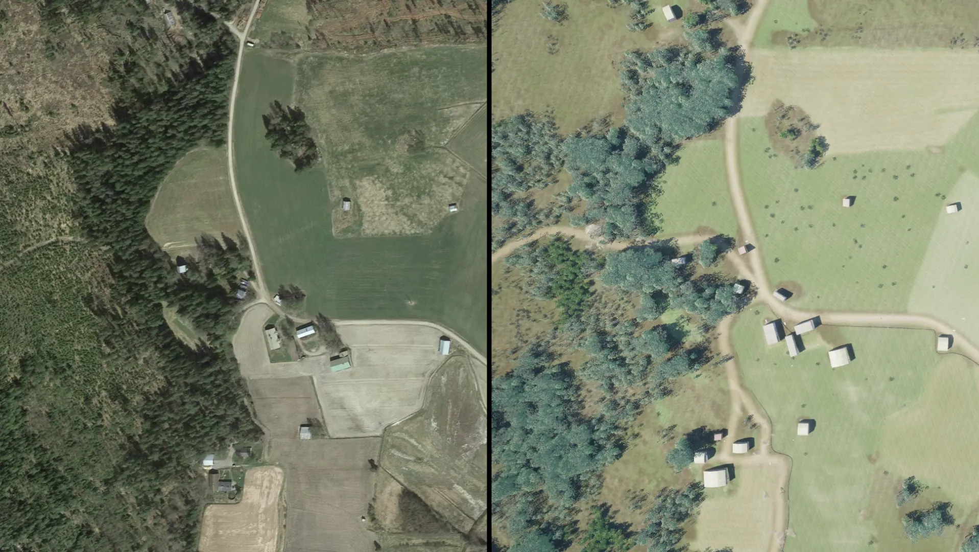
Scenery Reconstruction for Autonomous Systems
What Scenery Reconstruction Actually Means
Scenery reconstruction is the process of creating 3D models of real-world landscapes from geospatial data. If you work with autonomous systems, whether drones, aircraft, or ground vehicles, you have probably heard related terms like terrain generation, procedural landscapes, or digital twins. They all orbit the same idea: build a digital version of a physical environment so you can train and test in it without leaving your desk.
The distinction matters, though. Terrain generation often refers to procedurally created landscapes that look plausible but do not correspond to any real location. Scenery reconstruction, by contrast, starts with actual data from the real world. It aims to reproduce a specific place with enough accuracy that the simulation becomes useful for engineering decisions, not just visual demonstrations.
Why Scenery Reconstruction Has Become a Bottleneck
Autonomous systems in defense, aviation, and industrial automation fail in the same place: rare conditions tied to specific real locations that real-world data collection cannot reach at scale. Without an accurate digital version of those locations, teams cannot generate the synthetic data or run the edge-case scenarios that operational readiness depends on.
Where It Fits in the AILiveSim Platform
Scenery reconstruction is the foundation layer the rest of the platform builds on, feeding directly into multi-sensor simulation, the Automated Training Pipeline (ATP) that fills coverage gaps with synthetic data, and Intelligent System Testing (IST) for scenario-based validation. Because the reconstructed environment lives inside the same pipeline as scenario authoring, sensor models, and Simulation-in-the-Loop (SiL) execution, a new location can move from raw geospatial inputs to a closed-loop test ready for the customer's own AI stack without leaving the platform.
Where The Data Comes From
Scenery reconstruction draws on several types of input rather than a single source. Satellite imagery, aerial photography, LiDAR scans, and commercial geospatial datasets can all feed the same workflow, and most projects combine at least two of them.
The main inputs fall into a few categories. Raster imagery (satellite or aerial) provides the visual surface and helps classify land cover. Elevation comes from its own data layer, typically a digital elevation model or a LiDAR point cloud, since it cannot reliably be inferred from a 2D image. Vector data adds structured features: road networks, building footprints, water bodies, administrative boundaries, represented as lines, points, and polygons.
Some of this is open. OpenStreetMap covers roads, boundaries, and points of interest in much of the world, and public agencies release elevation and land cover datasets at varying resolutions. Other inputs are commercial: high-resolution satellite imagery, recent aerial surveys, and detailed elevation models tend to sit behind paid licenses. Teams typically mix both, using open data for breadth and commercial data where precision matters for the specific region or feature being modelled.
How AILiveSim Builds Reconstructed Environments
AILiveSim's approach to scenery reconstruction starts with satellite imagery (but is not the only method) and injects publicly available data from sources like OpenStreetMap into its scenery reconstruction pipeline. The system gathers the geospatial features it needs, processes them, and assembles a 3D environment that reflects the real location's topology, vegetation patterns, and built structures.
What makes this approach different from manual environment creation is both speed and fidelity. Building a comparable environment by hand would take roughly two months of skilled labor, and the result would likely be less accurate than what the automated pipeline produces.
The environments are also customizable. Teams can strip down terrain to its underlying geology, develop a landscape over time to simulate seasonal changes, or scale the area of interest from a single facility to an entire region. Because the reconstruction pipeline is integrated directly into the AILiveSim platform, the resulting environments are immediately ready for scenario creation, sensor simulation, and AI testing workflows.
Benefits: Why This Matters for Autonomous System Development
The most straightforward benefit is time. What once took months of manual modeling now takes a fraction of that. For teams running tight development schedules, this alone can shift project timelines.
Cost savings follow from the time reduction, but they also come from reduced field testing. When you can reconstruct the exact terrain your drone or vehicle will operate in, you can run thousands of simulated missions before committing to a single physical test flight. Edge cases that would be expensive or dangerous to create in the real world, like testing drone navigation in mountainous terrain during fog, become routine simulation runs.
There is also a quality argument. Reconstructed terrains built from real data are more representative of actual operating conditions than hand-modeled or procedurally generated alternatives. This means the AI models trained in these environments are more likely to perform well when they encounter the real thing.
Use Cases: Who Benefits and How
Scenery reconstruction is a tool you build with, not a fixed product you receive. Vision-driven organizations typically already hold significant amounts of geospatial and operational data, and the platform is designed to put that data to work rather than replace it. If you have a specific operation to plan or rehearse, you can bring your own data sources into the simulator and build the environment around them. AILiveSim currently supports a range of public and commercial data inputs and will continue to expand that list, with a deliberate focus on simplifying the path from raw data to a usable simulation environment.
Defense organizations training drone fleets across different countries are an obvious fit. Instead of deploying teams to each location for data collection, they reconstruct the target environment from available geospatial data and run their training scenarios in simulation. The same principle applies to civilian applications: urban air mobility companies testing navigation in specific city corridors, or infrastructure operators simulating inspection routes over complex industrial sites.
For teams already working with synthetic data, scenery reconstruction fills a gap that procedural generation cannot. It gives you a specific, verifiable place to test in, not just a plausible one. And when that place needs to change, whether due to construction, seasonal variation, or simply a different area of operations, the reconstruction pipeline can produce the updated environment without starting from scratch.
Resources
Explore Our Latest Insights
Stay informed with our expert articles and updates.
Article
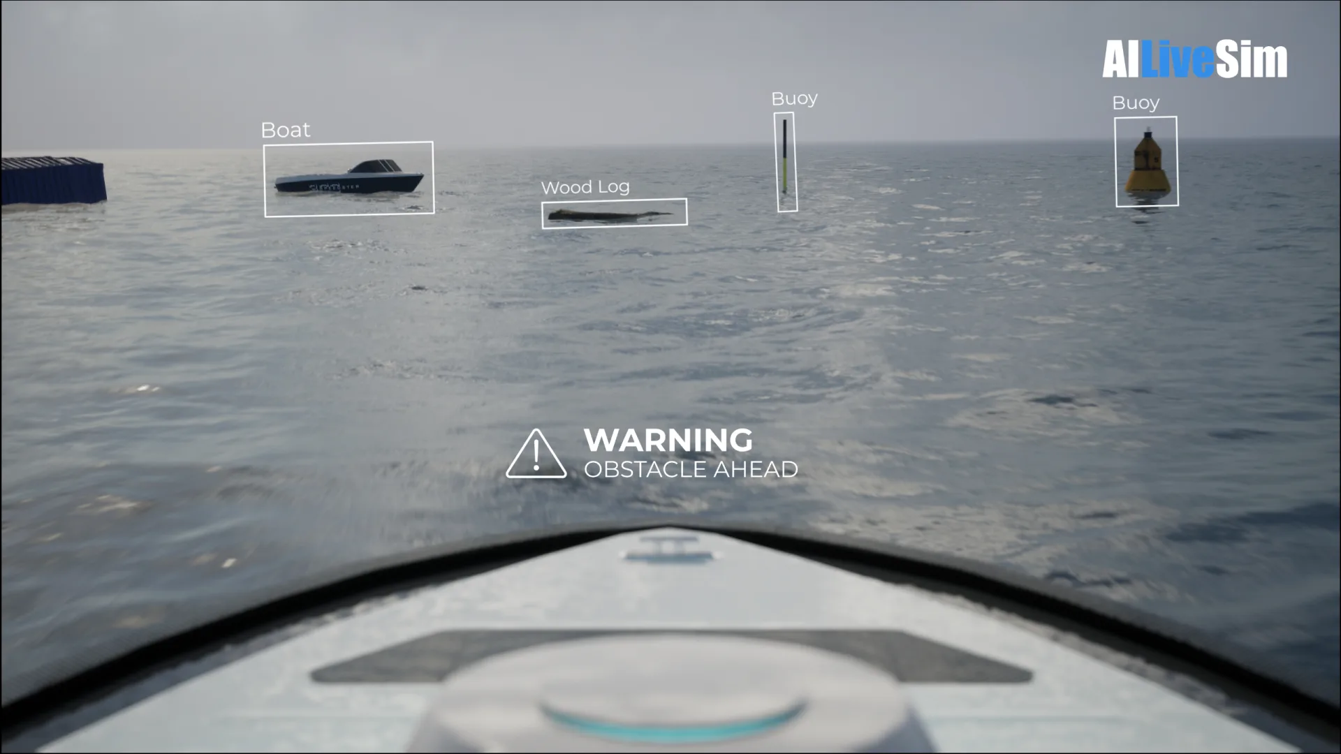
Have You Tested Enough? Intelligent System Testing and the Coverage Problem
Test volume measures effort, not proof. How Intelligent System Testing samples scenarios adaptively to map where an autonomous system works, where it fails, and which combination of conditions moves it from one to the other.
AILiveSim
August 22, 2026 • 4 min read
Article
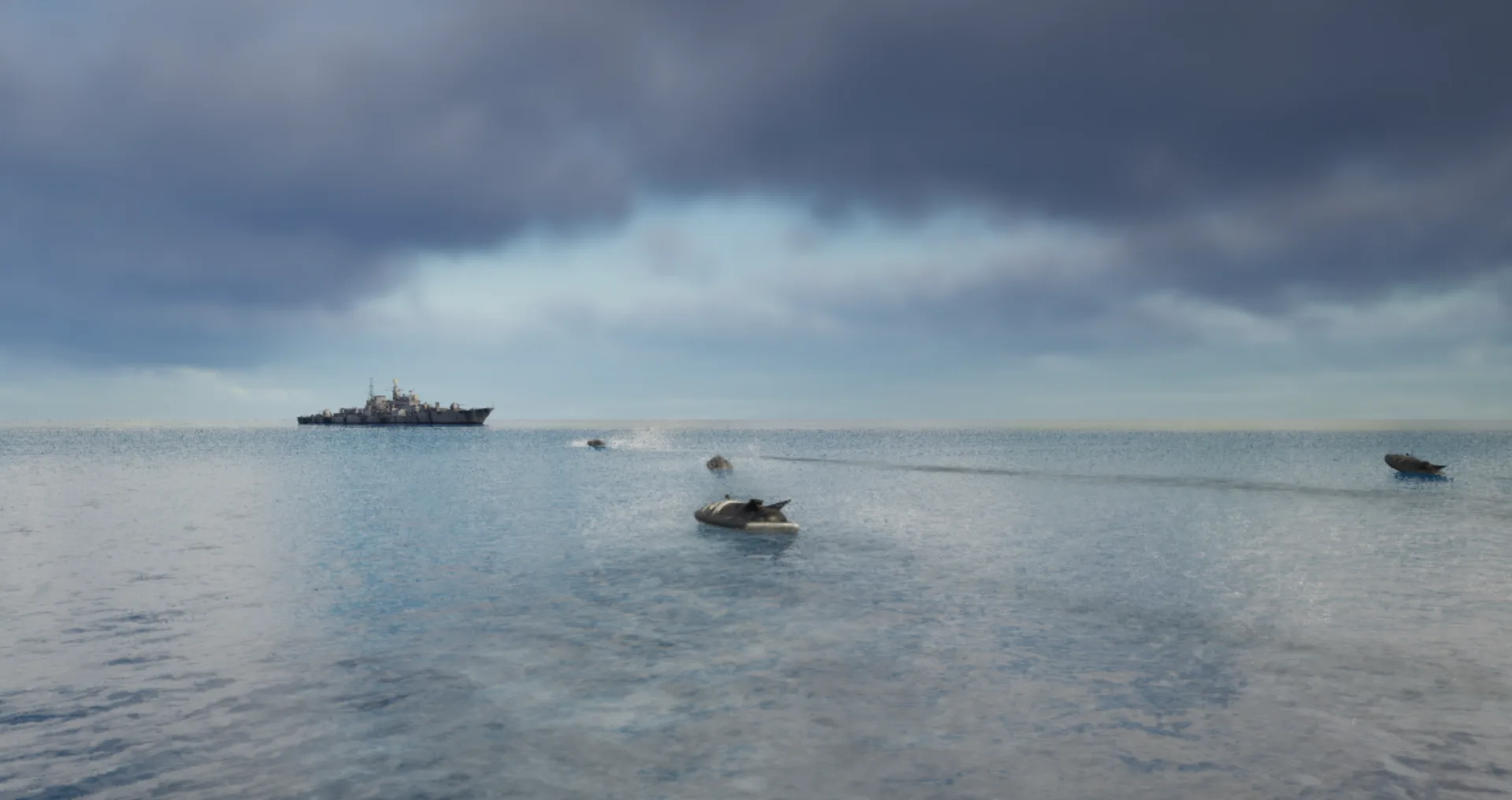
Swarm Defense Testing: Measuring Intercepts, Not Detections
Why no volume of captured data validates swarm defense: adversarial scenarios generated live around the system under test, scored as intercepts achieved versus hits on the protected vessel across repeatable, parameterizable waves.
AILiveSim
August 17, 2026 • 4 min read
Article
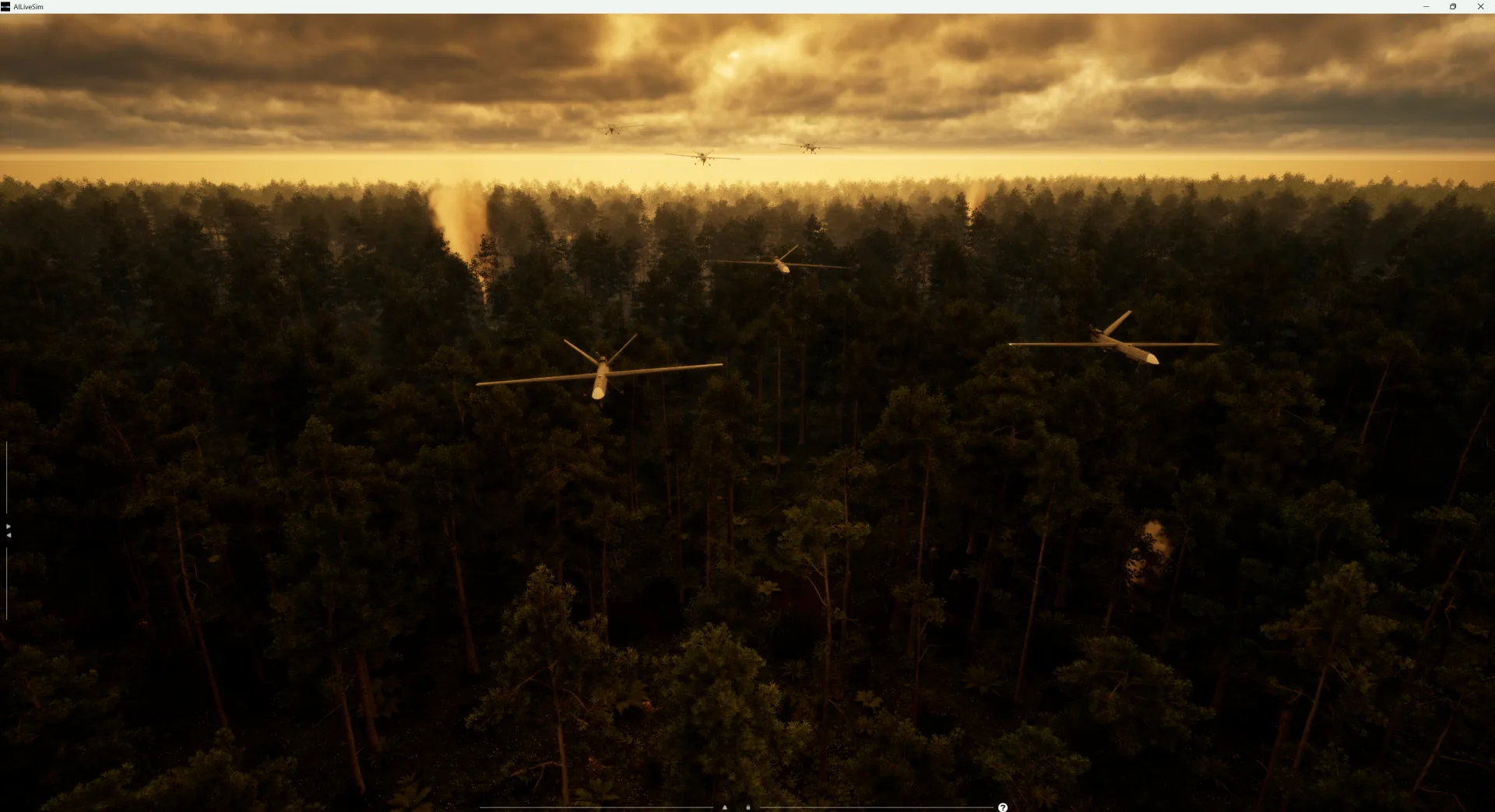
Counter-Drone Detection: Why Precision Fails Before Recall Does
Why counter-drone detection fails on precision before recall: negative-class coverage by sensor channel, and scoring threats neutralized alongside friendlies preserved on repeatable, configurable drone waves.
AILiveSim
August 13, 2026 • 4 min read
Article
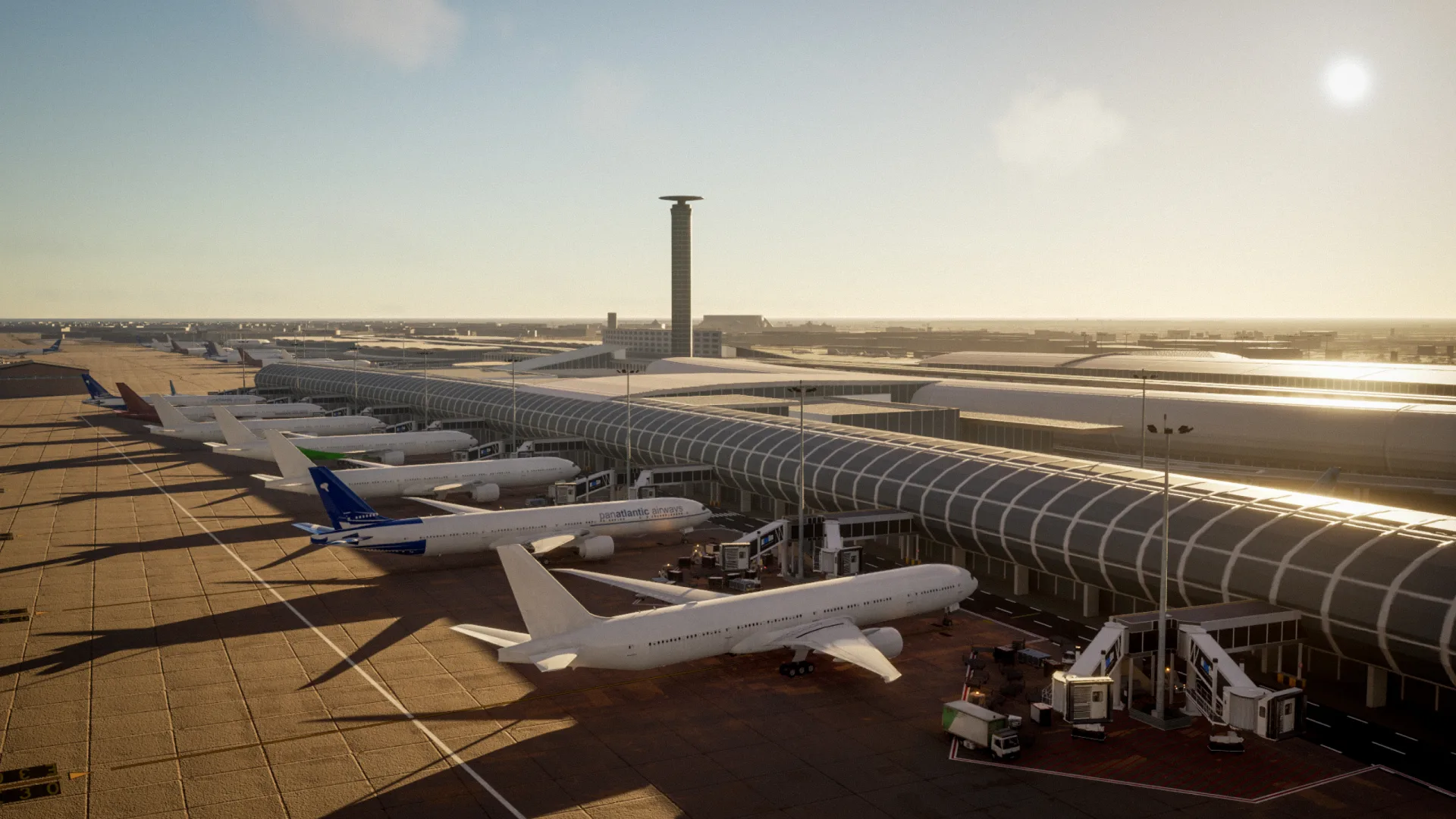
What Has to Be Inside an Airport Digital Twin Before It Is Worth Anything
What an airport digital twin must contain before it is worth anything: rare surface conditions, four time-aligned sensors, automatic labelling, and procedural generation that extends to your airport.
AILiveSim
August 10, 2026 • 4 min read
Discover the benefits of synthetic data and simulation
By navigating on this site you agree that we use only minimal cookies required for this site to function. We do not monetize your data.