AI Live Sim

By clicking Subscribe you're confirming that you agree with our Terms and Conditions.
Beyond the Surface: How Flow Maps and Erosion Modeling Add Intelligence to Simulated Terrain
The Problem with Terrain That Does Not Move
Why This Gap Matters for Operational Systems
What Flow Maps and Erosion Models Bring to the Table
What This Changes for Sensor Data and Scenario Quality
How Flow Maps and Erosion Modeling Connect to the Rest of the Platform
Where Terrain Dynamics Matter Most in Practice
Article
Beyond the Surface: How Flow Maps and Erosion Modeling Add Intelligence to Simulated Terrain

June 3, 2026 • 6 min read


Part 2 in the scenery reconstruction series
Reconstructing a real place is the first step. The next is making that terrain behave like the real world, where water moves, surfaces change, and conditions rarely stay still. This is a continuation of Building Real Worlds in Simulation: Scenery Reconstruction for Autonomous Systems.
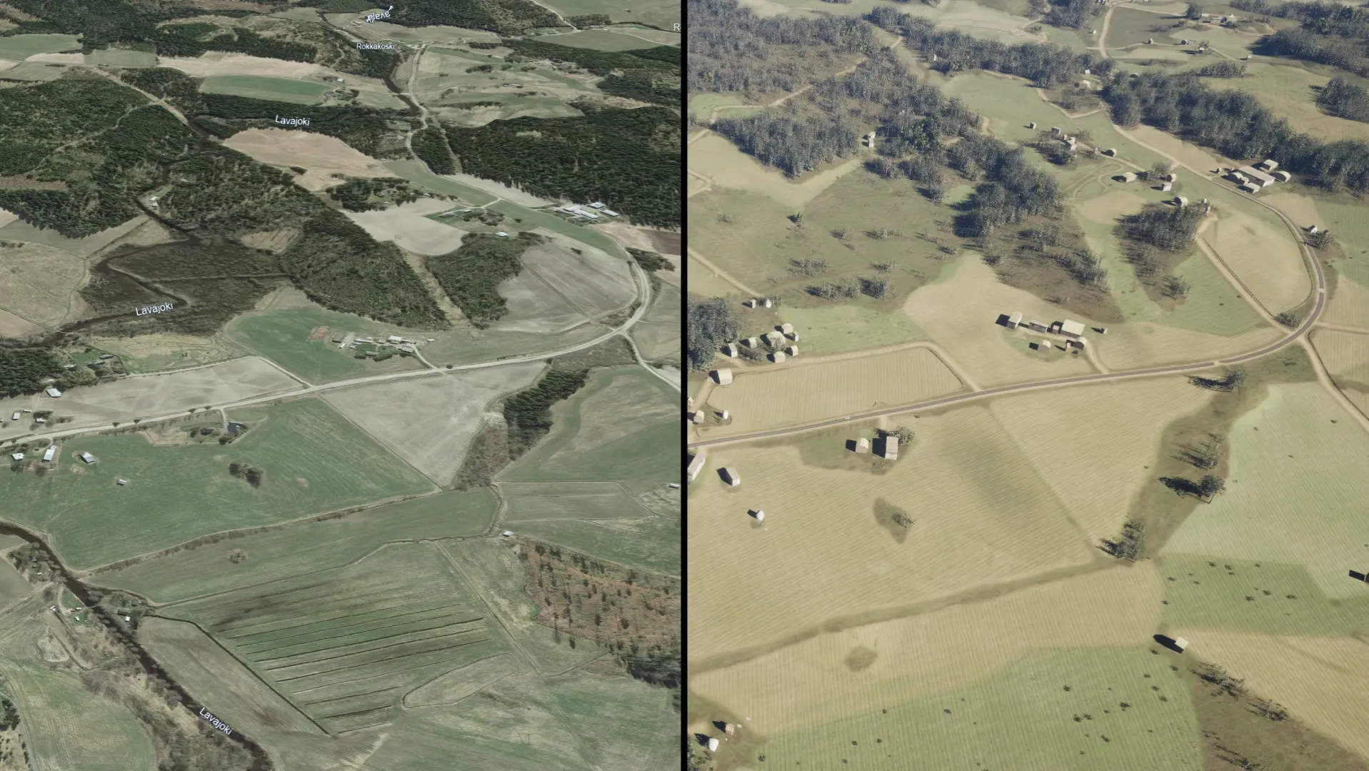
Flow Maps and Erosion Modeling in Simulated Terrain
The Problem with Terrain That Does Not Move
Real terrain is not static. Rain carves channels. Wind erodes exposed surfaces. Water pools in low spots and drains along paths determined by slope and soil composition. Any autonomous system operating outdoors encounters these dynamics constantly, and its perception and navigation models need to handle them.
But most simulation environments treat terrain as a fixed 3D mesh. The surface never changes, and erosion never happens. Models trained in these environments learn to navigate a world that does not exist. When they encounter the real thing, they are underprepared for conditions that seem obvious in hindsight: a flooded access road, a degraded runway surface, a slope that has shifted after heavy rain.
Why This Gap Matters for Operational Systems
The cost of static terrain shows up where it hurts most: defense drone fleets misreading wet versus dry ground, automated taxiing systems trained on pristine tarmac that fail on a rain-streaked runway, port autonomy stacks that have never seen the surface conditions they will operate in for ten months of the year. Without terrain that behaves like the real world, the data feeding perception models is biased toward conditions that rarely match deployment, and the failure cases surface in the field instead of in simulation.
What Flow Maps and Erosion Models Bring to the Table
A flow map is a computed data layer that shows the natural direction of water movement across terrain. It is derived from elevation data and slope analysis, and it predicts where water will accumulate, how it will drain, and which surfaces will be affected by runoff. Erosion modeling extends this by simulating how water movement reshapes terrain features over time.
Together, these two layers turn a static terrain surface into something that behaves more like the real world. They are not visual filters. They are physics-based datasets that inform how sensors, surfaces, and scenarios interact within the simulation.
What This Changes for Sensor Data and Scenario Quality
Flow maps affect how teams reason about synthetic sensor outputs. Knowing where water accumulates, where surfaces stay wet, and where runoff reshapes the ground gives scenario authors a physical basis for varying lighting, reflectivity, and surface conditions in their test cases, rather than relying on visual estimation alone.
Erosion data informs how scenarios are constructed. Where a flow model identifies areas prone to runoff and surface change, teams can deliberately design scenarios around those features instead of treating the terrain as uniform, which broadens the conditions an autonomous system is tested against without rebuilding the environment from scratch.
How Flow Maps and Erosion Modeling Connect to the Rest of the Platform
These dynamic terrain layers are not a separate product but an extension of the scenery reconstruction pipeline, and they sit inside the same platform as the Automated Training Pipeline (ATP), Intelligent System Testing (IST), and Simulation-in-the-Loop (SiL) execution against the customer's own AI stack. Keeping environment authoring, sensor simulation, and test execution in one platform removes the hand-offs and re-tooling that fragment most simulation workflows.
Where Terrain Dynamics Matter Most in Practice
A typical scenery reconstruction workflow has three steps. First, build the digital version of the real location from satellite imagery, elevation data, and vector features. Second, modify it for the scenario you need to test: clear a section of forest, drop in a temporary structure, add or remove vehicles and obstacles on the surface. Third, run the simulation with the modified scene and evaluate how the autonomous system performs against it.
The point of the loop is iteration. Once the reconstructed environment exists, variations are cheap. You can run the same mission across a hundred versions of the same place with different vegetation, different obstacle layouts, different weather, different times of day, and compare results without going back to the field. That is the practical value: not predicting how nature reshapes itself but giving engineering teams a controlled environment to test what the system does when conditions change.
Defense applications make this concrete. A drone perception model trained only on summer footage of a region will behave differently in winter, after a fresh snowfall, or under low cloud. Reconstructing the area of interest and running the model across seasonal variants surfaces those gaps before deployment. Aviation programs use the same approach for taxiing systems, swapping in wet, dry, and worn tarmac textures across the same airport. Port operators rebuild their terminal with realistic crane positions, container stacks, and vehicle traffic, then test how their autonomous fleet handles the layout it will meet on day one.
In each case, the value is the same. The simulation reflects a specific real place, with the specific features that matter for the system being tested.
Resources
Explore Our Latest Insights
Stay informed with our expert articles and updates.
Article
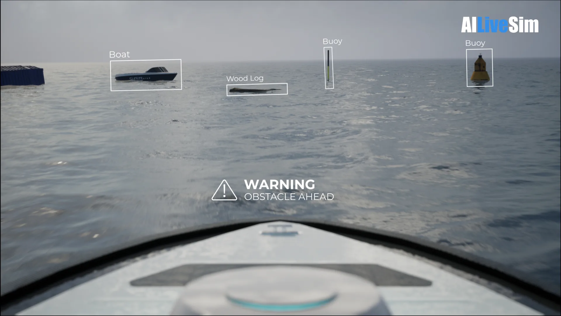
Have You Tested Enough? Intelligent System Testing and the Coverage Problem
Test volume measures effort, not proof. How Intelligent System Testing samples scenarios adaptively to map where an autonomous system works, where it fails, and which combination of conditions moves it from one to the other.
AILiveSim
August 22, 2026 • 4 min read
Article
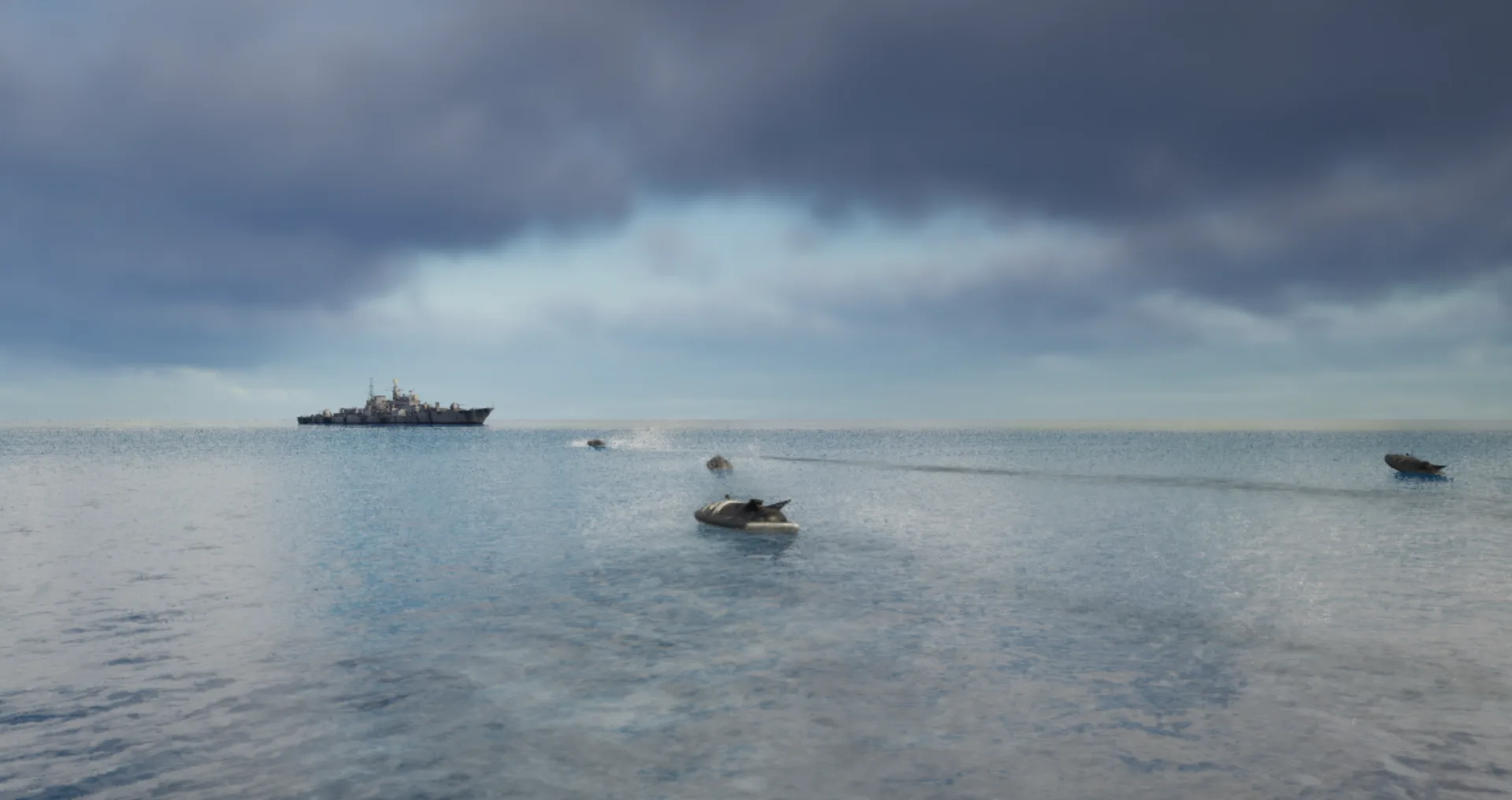
Swarm Defense Testing: Measuring Intercepts, Not Detections
Why no volume of captured data validates swarm defense: adversarial scenarios generated live around the system under test, scored as intercepts achieved versus hits on the protected vessel across repeatable, parameterizable waves.
AILiveSim
August 17, 2026 • 4 min read
Article
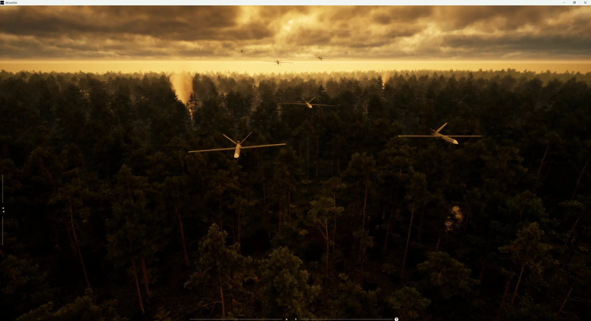
Counter-Drone Detection: Why Precision Fails Before Recall Does
Why counter-drone detection fails on precision before recall: negative-class coverage by sensor channel, and scoring threats neutralized alongside friendlies preserved on repeatable, configurable drone waves.
AILiveSim
August 13, 2026 • 4 min read

Article
What Has to Be Inside an Airport Digital Twin Before It Is Worth Anything
What an airport digital twin must contain before it is worth anything: rare surface conditions, four time-aligned sensors, automatic labelling, and procedural generation that extends to your airport.
AILiveSim
August 10, 2026 • 4 min read

Discover the benefits of synthetic data and simulation
By navigating on this site you agree that we use only minimal cookies required for this site to function. We do not monetize your data.